
County Nyabushozi County Time zone EAT (UTC+3) | Constituency Nyabushozi County Elevation 1,400 m | |
 | ||
Weather 24°C, Wind S at 11 km/h, 65% Humidity | ||
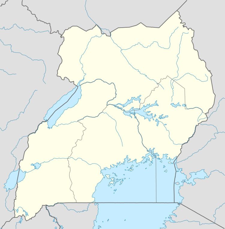
Nyakahita is a sparsely populated settlement in the Western Region of Uganda.
Contents
Location
The settlement is approximately 60 kilometres (37 mi), by road, east of Mbarara, the largest city in the Ankole sub-region along the Mbarara–Masaka highway. It is about 205 kilometres (127 mi), by road, southwest of Kampala, the capital and largest city of Uganda. The coordinates of Nyakahita are 0°24'50.0"S, 31°05'44.0"E (Latitude:-0.413889; Longitude:31.095556).
Points of interest
The Nyakahita–Kazo–Kamwenge–Fort Portal Road makes a T-junction with the
Mbarara-Masaka highway at Nyakahita. The town of Lyantonde (est. 2011 pop: 8,900), in Lyantonde District, lies to the immediate east of Nyakahita on this highway.
References
Nyakahita Wikipedia(Text) CC BY-SA