
Climate Aw Elevation 1,414 m | Area 164 km² Local time Tuesday 10:17 AM | |
 | ||
Weather 23°C, Wind E at 11 km/h, 70% Humidity | ||
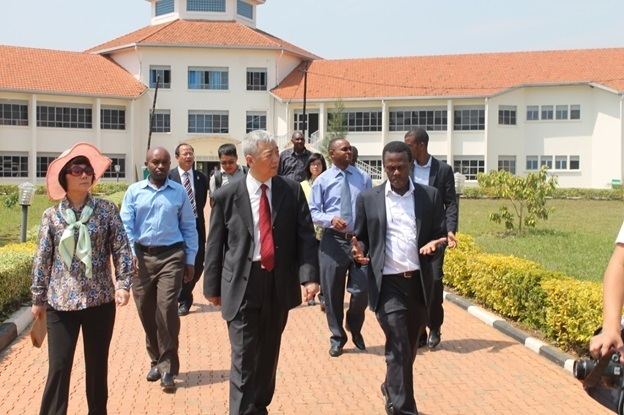
Umutare deaf school nyagatare rwanda
Nyagatare is a town in the North East of Rwanda. With a population of more than 100,000, it is one of the most populous settlements in the Eastern Province along with Rwamagana and Kibungo.
Contents
- Umutare deaf school nyagatare rwanda
- Map of Nyagatare Rwanda
- Rain in nyagatare
- Location
- Overview
- Population
- Points of interest
- References
Map of Nyagatare, Rwanda
Rain in nyagatare
Location
Nyagatare is located in Nyagatare District, Eastern Province, close to Rwanda's International borders with both Tanzania and Uganda. Its location lies about 80 kilometres (50 mi), by road, northeast of Kigali, Rwanda's capital and largest city. The coordinates of the town are:1° 18' 0.00"S, 30° 19' 30.00"E (Latitude:-1.3000; Longitude:30.3250)
Overview
Nyagatare is the largest metropolitan area and the capital of Nyagatare District, in Eastern Province, in Rwanda's northeast. At the center of a cattle farming region, the city is a point of milk collection for several milk producers such as Inyange Industries Ltd. Milk from Nyagatare is exported to other regions of Rwanda. It hosts tiles manufacturing industry known as EAST AFRICA GRANITE INDUSTRIES
Population
In 2002, the population of Nyagatare, Rwanda was estimated at about 8,500. The population has grown considerably since 1994, boosted by an influx of former refugees from Uganda, reaching 52107 in the 2012 census.
Points of interest
The following points of interest lie within the town limits or close to its edges: