
Basin area 292.7 km² | Length 48 km Basin area 292.7 km² Mouth elevation 0 | |
 | ||
- location 3 mi (5 km) west of Willits, California | ||
Station noyo river bar crossing knockdown
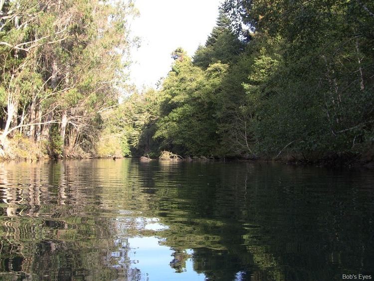
The Noyo River is a river on the north coast of California in Mendocino County. The river's headwaters are in the steep Mendocino Range, but downstream the river flows through gently sloping marine terraces before draining into the Pacific Ocean. The 113 square miles (290 km2) watershed extends east to the small city of Willits and the river's mouth is at Noyo Harbor in Fort Bragg, which uses the river for drinking water; it is neighbored on the south by the Big River, on the east by the South Fork Eel River, and on the north by Ten Mile River, named for its distance from the Noyo River. The average annual rainfall is between 40 inches (1,000 mm) and 65 inches (1,700 mm).
Contents
Map of Noyo River, California, USA
In the language of the Pomo people the Noyo River was called tee'mli-bida or Chemli-bida; the name "Noyo" referred to a village several miles north, on Pudding Creek, and by extension to the creek itself. European settlers transferred the name from Pudding Creek to the larger river to the south. The name Pudding Creek is thought to be a corruption of put-in creek - a term used by sailors to identify the uniquely sheltered mouth of the Noyo River. The two names were switched in the 1855 Coast Survey report.
The watershed has been logged for timber since the 19th century. Historical logging practices, particularly widespread clear-cutting, caused severe erosion, which led to excessive sediment buildup in the river and its tributaries. In addition, large woody debris that trapped sediment was removed from the streambed to improve flows. Noyo River estuary is recognized for protection by the California Bays and Estuaries Policy. In 1998, the river was listed as sediment impaired by the State of California North Coast Regional Water Quality Control Board. The watershed is slowly improving, but it is far from full recovery.
Timber production continues to be the primary land use in the watershed. About half of the land is owned by Mendocino Redwood Company and Hawthorne Timber Company, which bought its land from Georgia Pacific in 1999. Jackson Demonstration State Forest, owned by the California Department of Forestry and Fire Protection, makes up about one fifth of the watershed. The rest of the land is split into smaller parcels, such as ranches and private residences. Public land is largely limited to the state forest.
Ecology
Aside from use for navigation, recreation and municipal and industrial water supply for the city of Fort Bragg, the river provides groundwater recharge and wildlife habitat including cold freshwater habitat for fish migration and spawning. Three anadromous fish species inhabit the Noyo River: steelhead (Oncorhynchus mykiss irideus), coho salmon (Oncorhynchus kisutch), and chinook salmon (Oncorhynchus tshawytscha), which are all listed under the Endangered Species Act. Steelhead are listed as threatened (2011), coho listed as endangered (2011), and chinook are listed as threatened (2011). Non-salmonid species in the watershed include the three-spined stickleback (Gasterosteus aculeatus), Pacific lamprey (Lampetra tridentata), and sculpin (Cottus spp.).
Birds of special concern include the marbled murrelet (Brachyramphus marmoratus) and northern spotted owl (Strix occidentalis caurina) because of their close association with old- growth and mature redwood forest, which has been heavily impacted by timber harvest since the late 19th century.
Eighty-two mammal species are predicted to be found in the Noyo River watershed including several rodents, bats, and squirrels, beaver (Castor canadensis), black bear (Ursus americanus), ring-tailed cat (Bassariscus astutus), American marten (Martes americana), fisher (Martes pennanti), weasels, American badger (Taxidea taxus), western spotted skunk (Spilogale gracilis) and striped skunk (Mephitis mephitis), mountain lion (Puma concolor), bobcat (Lynx rufus), seals and sea lions, mule deer (Odocoileus hemionus), and elk (Cervus elaphus). However, recent surveys have found no fishers or martens.
Bridges
At least six bridges span the river, including:
There are at least 20 California Western Railroad crossings of the river visible in aerial photos.
The State Route 1 bridge built in 2005 replaced a deck truss bridge that was built in 1948. State Route 1 is known as the Shoreline Highway to the south and Main Street of Fort Bragg to the north. Originally proposed in 1998, the bridge was redesigned with railings that allow scenic views to be seen from the bridge after local protest.