
Length 38 km | ||
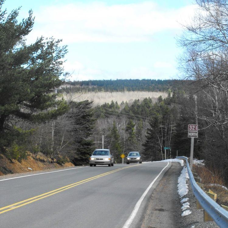 | ||
Route 321 is a collector road in the Canadian province of Nova Scotia.
Contents
Map of Hwy 321, Nova Scotia, Canada
It is located in Cumberland County and connects Springhill at Route 2 with Port Howe at Trunk 6.
From Port Howe it travels southward following the eastern banks of River Philip to the town of Oxford. For the first while in the town it is known as Pugwash Road. It then turns to the west and is known as Water Street. Most of Water Street is also Route 204. Near the centre of Oxford the route turns southward and is known as Main Street where it has an interchange with Highway 104 (Trans Canada Highway). From there it travels southward to River Philip where it turns westward and heads to Trunk 2 in Springhill and is known locally as Main Street.
Communities
Major intersections
Major Intersections/Junctions in order from Port Howe to Springhill.
History
The section of Collector Highway 321 from Springhill to Oxford was designated as Trunk Highway 4 before the 1960s.
The section of Highway 321 from Oxford to Port Phillip was designated as Trunk Highway 21.