
Country Canada Incorporated April 19, 1904 Highest elevation 18 m (59 ft) Population 1,190 (2016) Area code Area codes 902 and 782 Local time Tuesday 7:19 PM | Founded 1791 Area 10.76 km² | |
 | ||
Electoral Districts Federal Cumberland-Colchester-Musquodoboit Valley Weather 1°C, Wind E at 6 km/h, 90% Humidity | ||
Oxford is a town in Cumberland County, Nova Scotia, Canada 32 km (20 mi) east of Amherst. The town is directly serviced by Routes 104, 204, 301, and 321.
Contents
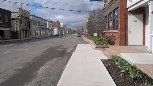
Map of Oxford, NS, Canada
History
Oxford was founded in 1791 by settler Richard Thompson. The name "Oxford" is derived from the shallow river that was used to enter the town. Early settlers used Oxen to cross, or "ford", the river, and thus derived the town's name.
Geography
Oxford is located at the junctions of three rivers, the largest of which is River Philip. Much of the town lies in a floodplain and floods are common during the springtime. Salt Lake is located between the Black River Road and the Trans Canada Highway. A series of swamps and meadows connect this lake to the River Philip.
Demographics
In the 2016 Census of Population conducted by Statistics Canada, the Town of Oxford recorded a population of 1,190 living in 528 of its 597 total private dwellings, a change of 7000340000000000000♠3.4% from its 2011 population of 1,151. With a land area of 10.76 km2 (4.15 sq mi), it had a population density of 110.6/km2 (286.4/sq mi) in 2016.
Industry
Oxford is considered the wild blueberry capital of Canada as it is centred in a large blueberry growing region. Oxford Frozen Foods Ltd., a wild blueberry processor, is the largest employer in the town, processing up to three million pounds of berries a day during peak season. The plant and over 12,000 acres blueberry land are owned by local businessman, John Bragg, who added in 2014 another 15,700 acres in the Acadian region of northern New Brunswick.
Historically, the town was home to a vibrant manufacturing industry with a woollen mill and foundry being key employers.
Transportation
Centrally located in Cumberland County, Oxford is well connected to the provincial and national road network.
The Trans Canada Highway (Highway 104) passed near just south of the town and provincial routes 204, 301, and 321 all travel through town via Pugwash Road, Brichwood Road, Water Street, Upper/Lower Main Street and Little River Road.
In terms of public transport, the town is serviced by Acadian Bus Lines, which stops at the Lower Main Market not far off the highway.
Historically, the town had freight and passenger rail service via CN's Oxford Subdivision, known locally as the 'Short Line', which ran from Oxford Junction to Stellarton. Passenger service was discontinued in 1960 and the line was abandoned in the 1990s.
The abandoned rail line has been reborn as a part of the Trans Canada Trail system. This section of the trail extends 127-km (78-mi) from Oxford to Pictou. It winds through farms, fields and forests for all season recreational use.