
Province Newfoundland and Labrador | Length 63 km | |
 | ||
East end: Medford Road in Kingsport | ||
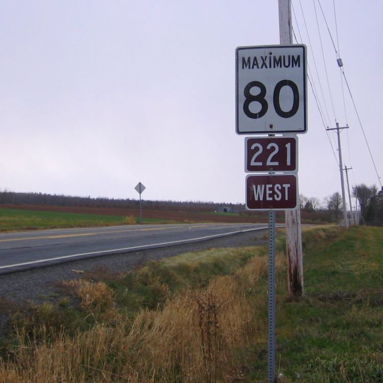
Route 221 is a collector road in the Canadian province of Nova Scotia.
Contents
Map of Hwy 221, Burin, NL, Canada
It is located in Kings County and Annapolis County in the Annapolis Valley and connects Kingsport to Spa Springs.
Valley residents informally refer to Route 221 as the "Back Road", since it runs parallel to Trunk 1, but instead of running through the centre of the valley, it runs close to the less-populated southern base of the North Mountain.
Communities
History
The section of Collector Highway 221 from Canning to Kingsport was once designated as part of the Trunk Highway 41.
References
Nova Scotia Route 221 Wikipedia(Text) CC BY-SA