
Country Canada Incorporated April 17, 1879 Population 20,591 (2016) | Established August 17, 1759 Area 3,185 km² Area code 902 | |
 | ||
University Centre of Geographic Sciences Points of interest Fort Anne, Upper Clements Parks, Port‑Royal National Historic S, Annapolis Heritage Society, Sinclair Inn Museum | ||
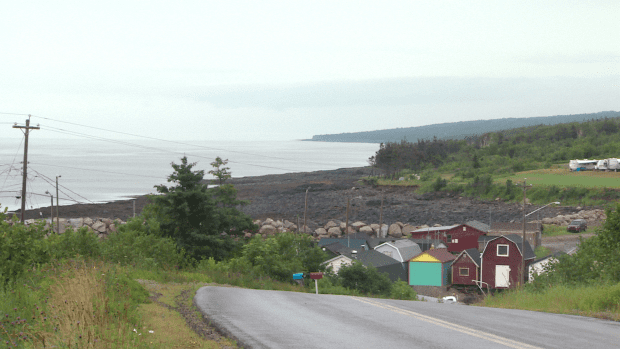
Annapolis County is a county in the Canadian province of Nova Scotia located in the western part of the province on the Bay of Fundy. The county seat is Annapolis Royal.
Contents
- Map of Annapolis County NS Canada
- History
- Demographics
- Communities
- Access routes
- Protected areas
- Attractions
- References
Map of Annapolis County, NS, Canada
History
Established August 17, 1759 by Order in Council, Annapolis County took its name from the town of Annapolis Royal which had been named in honour of Anne, Queen of Great Britain. It was near the previous site of Port Royal, the chief Acadian settlement in the area. The Acadians had been forcibly removed by British government officials in the 1755 Grand Dérangement.
By 1833, a number of reasons had been advanced for making two counties out of Annapolis County. Two petitions were presented to the House of Assembly in that year requesting that the county be divided. However, it was not until 1837 that Annapolis County was divided into two distinct and separate counties - Annapolis and Digby.
Demographics
As a census division in the 2016 Census of Population conducted by Statistics Canada, Annapolis County recorded a population of 20,591 living in 9,377 of its 11,391 total private dwellings, a change of 3000199999999999999♠−0.8% from its 2011 population of 20,756. With a land area of 3,189.14 km2 (1,231.33 sq mi), it had a population density of 6.5/km2 (16.7/sq mi) in 2016.
Forming the majority of the Annapolis County census division, the Municipality of the County of Annapolis recorded a population of 18,252 living in 8,188 of its 10,047 total private dwellings in the 2016 Census of Population, a change of 2999850000000000000♠−1.5% from its 2011 population of 18,526. With a land area of 3,178.21 km2 (1,227.11 sq mi), it had a population density of 5.7/km2 (14.9/sq mi) in 2016.
There are 10,404 households out of which 26.06% have children living with them, 36.50% are married couples living together, 25.46% are one-person households, and 11.98% are other household types.
Communities
Access routes
Highways and numbered routes that run through the county, including external routes that start or finish at the county limits: