
Length 323 km | ||
 | ||
Counties: Annapolis, Digby, Hants, Kings, Clare, Digby, Halifax Regional Municipality, East Hants, West HantsYarmouth Towns: | ||
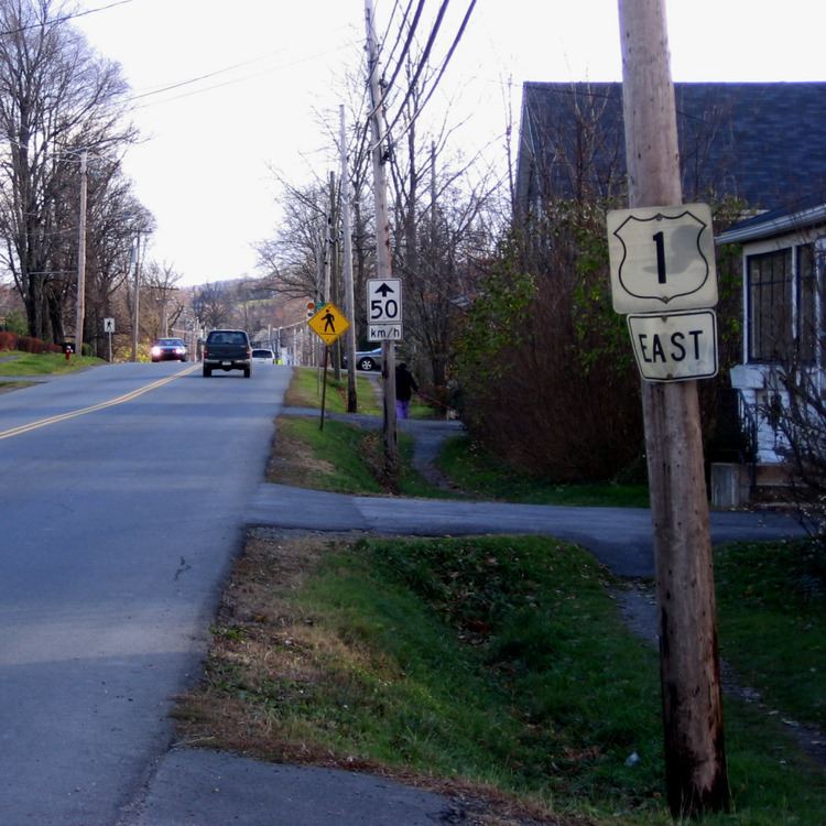
Trunk 1 is a secondary highway in the Canadian province of Nova Scotia.
Contents
Map of Nova Scotia Trunk 1, Nova Scotia, Canada
It is located in the western part of the province and connects Bedford with Yarmouth via the Annapolis Valley. It was known for many year as "the Post Road". The route runs parallel to, and in some places has been replaced by, Highway 101. Trunk 1 often forms the main street in communities that Highway 101 bypasses.
The highway is 323 km (201 mi) in length and hosts the Evangeline Trail scenic travelway for its entire length, as well as the Glooscap Trail scenic travelway for a section between Windsor and Wolfville.
Just east of Windsor, between Garlands Crossing and Currys Corner, Trunk 1 and Trunk 14 are duplexed for about 2 km.
Route description
In the Halifax Regional Municipality, Trunk 1 starts in Bedford at the intersection of Rocky Lake Drive and the Bedford Highway on Trunk 2. It is known as Sackville Drive and is the main street through the community of Lower Sackville. The road continues northwest through Middle Sackville, Upper Sackville, and Mount Uniacke to Windsor, where it meets the Avon River. Trunk 1 follows the west bank of the river through Hantsport. At Avonport, Trunk 1 turns west through the Annapolis Valley, following the south bank of the Cornwallis River through Wolfville, New Minas and Kentville.
Bypassing the town of Berwick to the south, Trunk 1 meets the Annapolis River at Aylesford, and runs along the river's north bank through Kingston, Middleton, Lawrencetown and Bridgetown. The road crosses the Annapolis River at Annapolis Royal (on the Annapolis Royal Generating Station), and runs along the southern coast of the Annapolis Basin through Upper Clements and the former site of CFB Cornwallis.
Trunk 1 joins up with Highway 101 at Deep Brook to cross the Bear River, then splits apart to loop through the village of Smith's Cove, across from the town of Digby. Trunk 1 joins up at the western end of this loop, with Highway 101 assuming Trunk 1's former alignment along St. Mary's Bay. A new controlled-access segment of Highway 101 is proposed for this area; and it is assumed Trunk 1 will be re-signed along this stretch if completed.
At Weymouth, Trunk 1 re-appears, and continues south along the coast through the Municipality of Clare to its end in downtown Yarmouth on Main Street at the ferry terminal to Bar Harbor, Maine where it meets the Trunk 3.
History
Trunk 1 is the oldest major road in the province of Nova Scotia. It began as a trail connecting Acadian communities but was expanded by the British as link between the garrison of Annapolis Royal and the provincial capital of Halifax. It was upgraded to a road and became known in the 19th century as "the Great Western Road" connecting Halifax to its westward hinterland. It became known as "the post road" in the Annapolis Valley because of its use for mail delivery and stage coach service. The name "the post road" persists in some circles but today it is more commonly nicknamed "the old number one" in contrast to the newer Highway 101. "Old Windsor Highway" and Rural Route 4 (R.R.4) are also previous designations. A section of the road from its stage coach era was bypassed by later 19th century construction and been preserved at the Uniacke Estate Museum Park in Mount Uniacke, Nova Scotia.
Coordinates
Eastern End 44°44′1.3″N 63°39′20.6″W
Western End 43°49′59″N 66°7′12.3″W