
Length 38 km County Annapolis County | ||
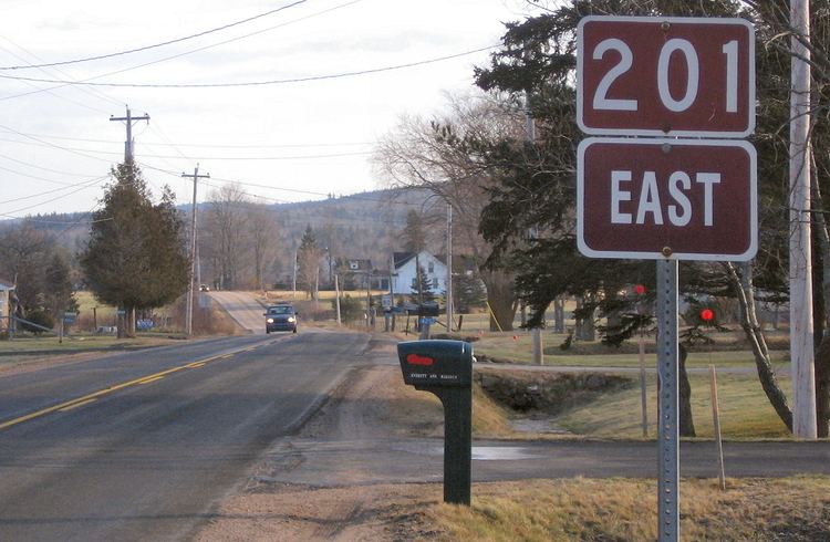 | ||
Route 201 is a collector road in the Canadian province of Nova Scotia.
Contents
Map of NS-201, Nova Scotia, Canada
It is located in the Annapolis Valley and runs from Annapolis Royal to Kingston. Heading west from its junction with Trunk 1 the route follows the southern banks of the Annapolis River through the communities of Nictaux, Lawrencetown, and Paradise before crossing over Highway 101 into the town Bridgetown. After exiting the town the route continues west where it terminates at a junction with Route 8 in the town of Annapolis Royal.
The highway is designated a bicycle route.
Communities
Parks
References
Nova Scotia Route 201 Wikipedia(Text) CC BY-SA