
Country Canada Formed January 1, 1998 Population 15,085 (2011) | Time zone EST (UTC-5) Local time Friday 12:19 PM Area code 613 | |
 | ||
Website www.northgrenville.on.ca Weather 0°C, Wind E at 6 km/h, 85% Humidity | ||
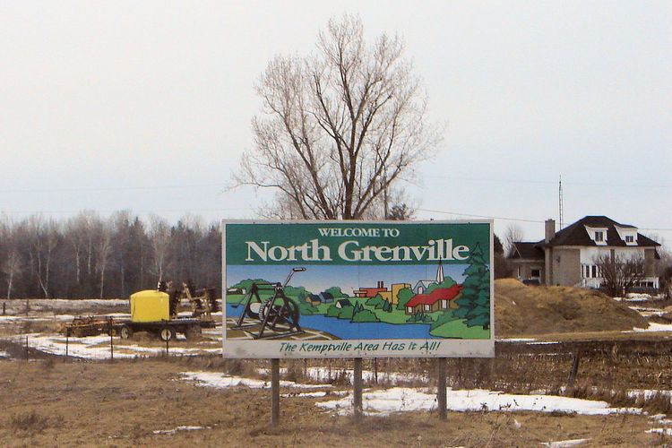
North Grenville is a township in eastern Ontario, Canada, in the United Counties of Leeds and Grenville on the Rideau River. It is located just south of Ottawa, Canada's National Capital Region.
Contents
Map of North Grenville, ON, Canada
It was established on January 1, 1998, through the amalgamation of is composed of Oxford-on-Rideau Township, South Gower Township, and the Town of Kemptville. In 2003, a motion of the municipal council adopted the designation of 'municipality'.
The largest community in North Grenville is Kemptville, with a population of 3,532 in the 2011 census, down from 3,667 in the Canada 2001 Census. It is located on the Kemptville Creek (historically South Branch of the Rideau River) in close proximity to Ottawa, sitting midway between suburban Ottawa and the Prescott-Ogdensburg bridge along Highway 416.
Communities
The municipality comprises the communities of Actons Corners, Bishop's Mills, East Oxford, Heckston, Hutchins Corners, Kemptville, Millars Corners, Newmanville, Oxford Mills, Oxford Station, Pattersons Corners, Peltons Corners, Sabourins Crossing, Schipaville, Swan Crossing and Van Allens.