
- elevation 7,466 ft (2,276 m) - average 1,297 cu ft/s (37 m/s) Discharge 36.44 m³/s Basin area 4,662 km² | - elevation 1,834 ft (559 m) Length 188 km Basin area 4,662 km² | |
 | ||
- max 33,400 cu ft/s (946 m/s) | ||
The North Fork John Day River is a 107-mile (172 km) tributary of the John Day River in the U.S. state of Oregon. It begins in Grant County about 20 miles (32 km) northwest of Baker City near the crest of the Blue Mountains. It flows generally west to the community of Dale on U.S. Route 395, then southwest through the city of Monument to the unincorporated community of Kimberly, where it meets the main stem of the John Day River.
Map of North Fork John Day River, Oregon, USA
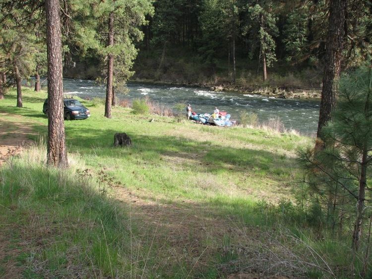
The upper reaches of the river flow through the North Fork John Day Wilderness in the Wallowa–Whitman National Forest and the Umatilla National Forest. From its headwaters to its confluence with Camas Creek, the river is part of the National Wild and Scenic River system. The upper 27.8 miles (44.7 km) is classified wild, the next 10.5 miles (16.9 km) scenic, and the next 15.8 miles (25.4 km) recreational, for a total of 54.1 miles (87.1 km).
The North Fork John Day River is one of the most important in northeast Oregon for anadromous fish. Wildlife found near the river includes mule deer, elk, and black bears, peregrine falcons, and bald eagles. Recreational uses include hunting, fishing, horseback riding, hiking, snowmobiling, skiing, camping, and whitewater rafting.