
Topo map USGS Mount Ireland Prominence 317 m | Elevation 2,536 m Mountain range Blue Mountains | |
 | ||
Parent range Elkhorn Crest of the southern Blue Mountains Similar Strawberry Mountain, Aneroid Mountain, Lookout Mountain, Cusick Mountain, Sacajawea Peak | ||
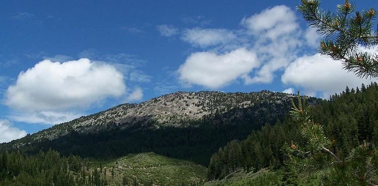
Mount Ireland is a mountain in Grant County of the U.S. state of Oregon. It is about 5 miles (8 km) east-northeast of Granite, Oregon. It is the second highest peak in the Blue Mountains at 8,325 feet (2,537 m) after Strawberry Mountain, and Oregon's 71st highest peak. For a period of several years, this mountain peak was referred to as Bald Mountain but in 1975, it was changed to Ireland Mountain before formally becoming known as Mount Ireland. The name change was brought about by a cooperative effort of local citizens and the US Forest Service to honor Henry Ireland, a forest supervisor for many years, who had died in 1916.
Map of Mt Ireland, Oregon 97877, USA
Several gold mining claims were established in the area and are still identifiable on local forest maps. Some are still patented while others have long been abandoned.
Mount Ireland is located in the Wallowa-Whitman National Forest and outdoor enthusiasts are welcome to hike the Mt. Ireland Lookout Trail #1604 which is open Summer and Fall. Though the trail is ranked as "more difficult", there are no restrictions. The trail covers 3.2 miles from an elevation of 6,000 feet at the trailhead and ends at the Mt. Ireland Fire Lookout. The summit overlooks Baldy Lake on the north slope and though the mountain peak's name was changed, the small mountain lake retained its original name. The view from the summit provides an extensive panorama of the North Fork John Day Wilderness.