
Length 246 km (153 mi) | Season All year Designation National Trails | |
 | ||
Similar North Downs, Box Hill - Surrey, Kent Downs, St Martha's Hill, Newlands Corner | ||
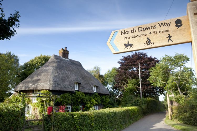
North downs way the trail
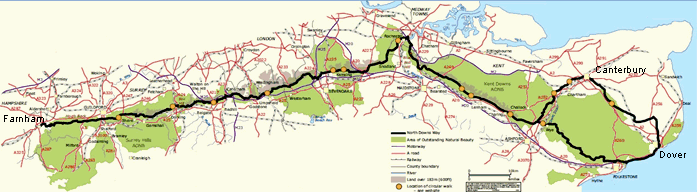
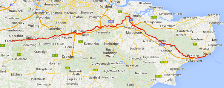
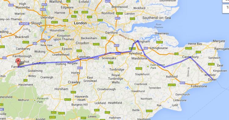
The North Downs Way National Trail is a long-distance path in southern England, opened in 1978. It runs from Farnham to Dover, past Guildford, Dorking, Merstham, Otford and Rochester, along the Surrey Hills Area of Outstanding Natural Beauty (AONB) and Kent Downs AONB.
Contents
Planning for a new Long Distance Path, as they were classified in 1949, began in Kent in 1950. After an extensive survey, it was agreed that a route on "a line which offers the best scenic qualities for the walker" along the ridge of the North Downs, rather than the Pilgrim's Way (which even in the 1960s was predominantly metalled road), was preferred. Working alongside Surrey County Council, plans were eventually submitted in 1966.
The North Downs Way was officially designated by then Minister of Housing and Local Government, Anthony Greenwood, on 14 July 1969, and opened in parts shortly afterwards, becoming fully open in 1978. At that time, it was 141 miles in length, 36 miles of which were newly created Public Rights of Way.
East of Boughton Lees, the path splits in two, the northern section running via Canterbury and the southern via Wye; at this stage the path crosses the Stour Valley Walk and passes the Wye Crown. The two sections of the path reunite at Dover. The northern route is 211 km long, and the southern route 201 km, the current length of the North Downs Way being 246 km (153 miles).
The pathway is mixed-category in that it varies throughout length from footpath (around 48%) status to bridleway, byway and road. Some 19% of the Way follows roads, though 75% of those are minor lanes.
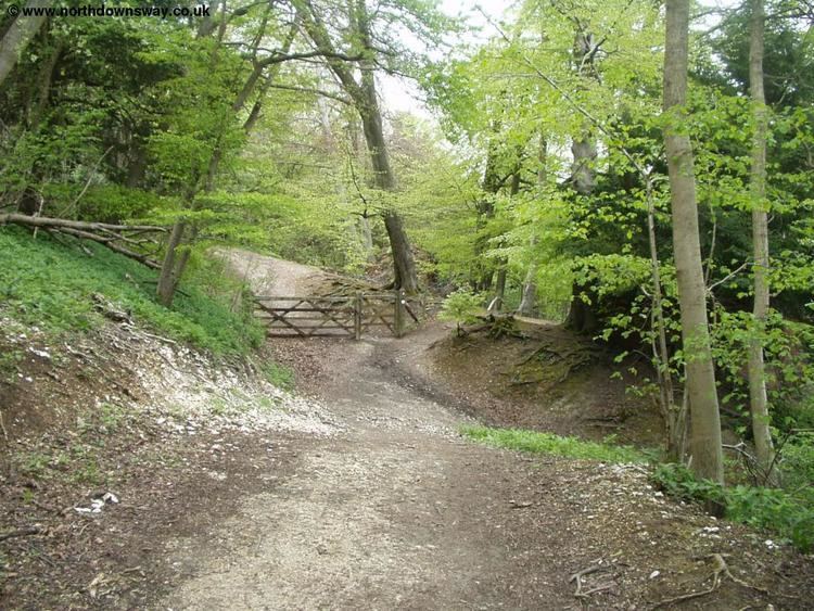
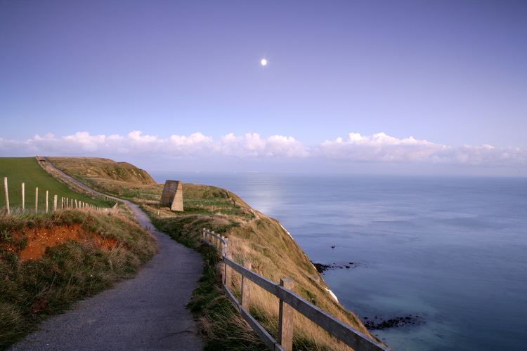
The path (east of Boughton Lees, the southern section) runs along the ridge of the North Downs hills, and follows parts of the Pilgrims' Way.
As the pathway runs through the downland, the trails and surrounding countryside are characterised by chalk-based soil and calcareous grassland with broadleaf woodland on the upper slopes and livestock grazing on the lower slopes and clay soil and crop agriculture predominant in the valleys.