
- location Leith Hill Area 422 km² | - elevation 294 m (965 ft) Phone +44 1372 220653 | |
 | ||
Address Surrey Hills Estate Office,, Box Hill, Dorking KT20 7LB, United Kingdom Hours Open today · Open 24 hoursSaturdayOpen 24 hoursSundayOpen 24 hoursMondayOpen 24 hoursTuesdayOpen 24 hoursWednesdayOpen 24 hoursThursdayOpen 24 hoursFridayOpen 24 hoursSuggest an edit Similar Leith Hill Place, Surrey Hills C Of E Primary, Surrey Hills Mountain Bike Guid, The Abinger Hatch, Edgeley Lodge Park Ltd Profiles | ||
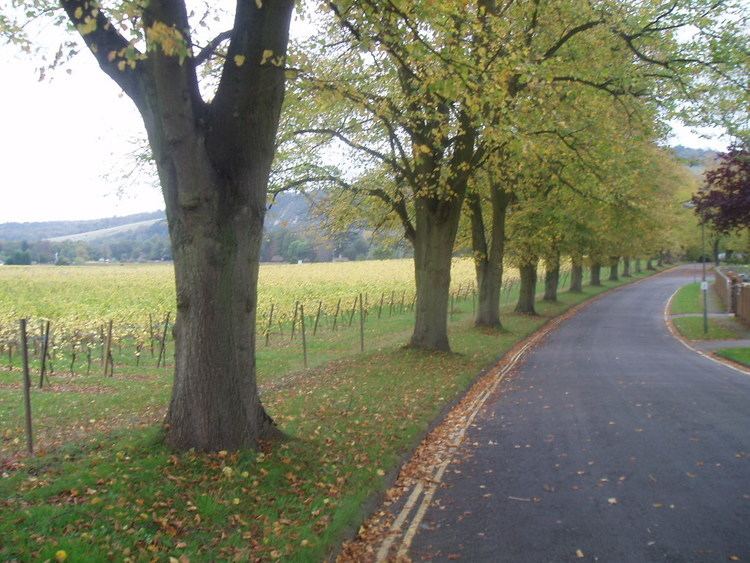
Surrey Hills is a 422 km2 (163 sq mi) Area of Outstanding Natural Beauty (AONB) in Surrey, England. The AONB was designated in 1958 and covers one quarter of the county of Surrey. Surrey Hills AONB adjoins the Kent Downs AONB to the east and the South Downs National Park in the south west.
The highest summit of the Surrey Hills AONB, Leith Hill near Coldharbour, is 294 metres (965 ft) above sea level. It is part of the Greensand Ridge, which traverses the AONB from west to east, and is the highest point in southeast England.
The Surrey Hills area has three long-distance walks running through it: the North Downs Way, the Greensand Way and the Pilgrims' Way. Blackheath Common is also part of this area.
The northern ridge of these hills, predominantly formed by chalk, is separated by the Vale of Holmesdale which continues into Kent from the southern ridges which are predominantly greensand. They provide a haven for rare plants and insects. Parts of the area are owned and managed by the National Trust, including Ranmore Common, Leith Hill and Box Hill.
Chiddingfold Forest, a Site of Special Scientific Interest (SSSI), lies within the area.
Surrey Hills AONB is surrounded by an Area of Great Landscape Value which covers a further 8% of the county.