
Existed: 1940 – present Constructed 1940 | Length 171.7 km | |
 | ||
Counties | ||
North Carolina Highway 96 (NC 96) is a primary state highway in the U.S. state of North Carolina. It is a predominantly rural highway that travels north-south; from NC 55, west of Newton Grove, to Virgilina, Virginia, where it continues on as Virginia State Route 96. It also connects the cities of Smithfield, Selma, Zebulon, Youngsville and Oxford.
Contents
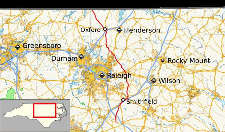
Map of NC-96, North Carolina, USA
History
The current NC 96 was established in 1940 as a renumbering of NC 562; it ran from NC 56, in Wilton, to Virgilina, Virginia. In 1952, NC 96 was extended south as a new primary routing to Youngsville, replaced NC 98 and NC 264 to Zebulon, new primary routing to Selma, concurrency with US 301 to Four Oaks, and finally new primary routing to end at NC 55. Around 1960, NC 96 was adjusted in the Four Oaks area to accomidate I-95; it was placed on concurrency briefly with US 701, leaving behind part of US 301 and Boyette Road (SR-1182).
The first NC 96 existed from 1930-1940; it originally traversed from NC 90, near Taylorsville, south to NC 17, in Hickory. In 1934, it was extended further south to NC 73, in Propst Crossroads, replacing part of NC 17. Between 1931-1936, NC 96 was rerouted at the Catawba River onto a new crossing at Shiloh Church Road. In 1940, the entire route was renumbered to NC 127.
North Carolina Highway 562
North Carolina Highway 562 (NC 562) was established as a new primary routing from NC 56, in Wilton, to Virgilina, at the Virginia state line. In 1940, NC 562 was renumbered in favor of NC 96.