
Country United States of America | ||
 | ||
The North Branch Pawtuxet River is a river in the U.S. state of Rhode Island. It flows approximately 8.9 miles (14.3 km). There are 9 dams along the river's length.
Contents
Map of North Branch Pawtuxet River, Scituate, RI, USA
Course
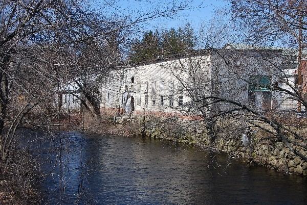
The river is formed by the confluence of the Ponaganset and Moswansicut rivers in the area that is now flooded by the Scituate Reservoir, the primary drinking water supply for the city of Providence and surrounding towns. From the reservoir, it flows southeast through the historic textile mill villages of Hope, Arkright, Harris, Phenix, Lippitt and then into River Point, West Warwick where it converges with the South Branch Pawtuxet River to form the main branch of the Pawtuxet River.
Crossings
Below is a list of all crossings over the North Branch Pawtuxet River. The list starts at the headwaters and goes downstream.
Tributaries
In addition to many unnamed tributaries, the following brooks also feed the North Branch Pawtuxet: