Time zone IST (UTC+5:30) | ||
 | ||
Norangpura, near Chandgothi, is a village of less than 7,000 population, in Churu district of Rajasthan state of India. It is 10 km from Chandgothi, 20 km from Pilani, 65 km from Churu, 110 km from Hisar, 160 km from state capital Jaipur, 105 km from national capital Delhi and 295 km from Chandigarh.
Contents
- Map of Norangpura Rajasthan 331303
- History
- Jat gotras
- Revenue Agriculture Health and Other Services
- Jan Sahayak e Governance Services
- References
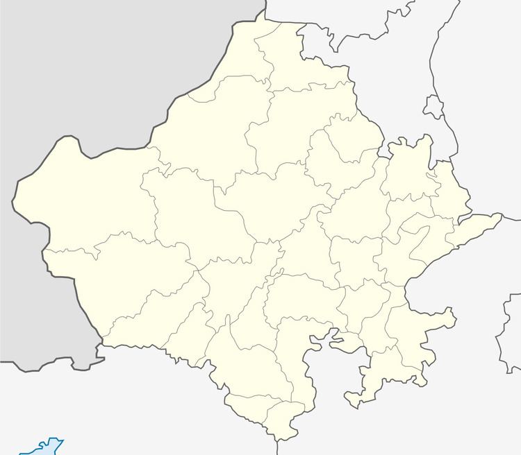
Map of Norangpura, Rajasthan 331303
History
After Independence of India in 1947, it became part of Churu district.
Jat gotras
The following Jat gotras are found in the village.
Revenue, Agriculture, Health and Other Services
There is a Patwari (Government Land Records Officer), an Agriculture Development Officer (ADO), a Rural Health Officer (RHO), and an Anganwadi (Community Childcare) worker based at village.
Jan Sahayak e-Governance Services
Government of India e-governance services can be availed online at their website for various govt departments including land & revenue (land rights and ownership records), transport (driving license and vehicle registration), health (birth and death certificates), public health (water and swerage connection), food (ration cards), Power (electricity connection) and HUDA or Municipal Committee/council (house tax and building plans), etc.
