
Country Japan Local time Tuesday 12:20 PM | Population 31,006 (1 Nov 2015) | |
 | ||
Weather 9°C, Wind S at 6 km/h, 36% Humidity Points of interest Amariyama, Mount Hōō, Nirasakiomura Museum, Nirasaki Central Park, Fukada Memorial Park | ||
Nirasaki (韮崎市, Nirasaki-shi) is a city in central Yamanashi Prefecture, Japan.
Contents
- Map of Nirasaki Yamanashi Prefecture Japan
- Geography
- Surrounding municipalities
- History
- Education
- Railway
- Highway
- Sister city relations
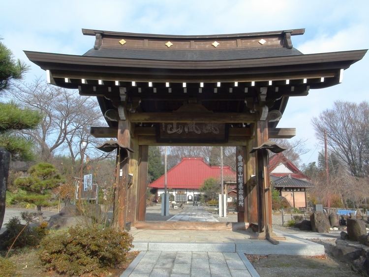
- Local attractions
- Notable people
- References
Map of Nirasaki, Yamanashi Prefecture, Japan
As of November 2015, the city had an estimated population of 31,006 and a population density of 216 persons per km². The total area was 132.69 square kilometres (51.23 sq mi).
Geography
Nirasaki is located in northeastern Yamanashi Prefecture, bordered to the east and west by the Minami Alps National Park.
Surrounding municipalities
Yamanashi Prefecture
History
The area around present-day Nirasaki was the ancestral homeland of the Takeda clan, which dominated Kai Province in the Sengoku period. During the Edo period, the area was tenryō territory under the direct administration of the Tokugawa shogunate, and the village of Niirasaki was a post town on the Kōshū Kaidō highway. During the early Meiji period, the area was organized into 14 villages under Kitakoma District, Yamanashi. Nirasaki was elevated to town status on September 20, 1892. Modern Nirasaki City was founded by merger of Nirasaki with ten surrounding villages on October 10, 1954.
Education
Nirasaki has five elementary schools, two middle schools and two high schools.