- location Paxton Township - location Lister Township Source Big Bob Lake | - elevation 449 m (1,473 ft) - elevation 308 m (1,010 ft) | |
 | ||
Mouths | ||
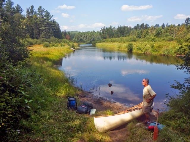
Algonquin park 7 day nipissing river canoe trip
The Nipissing River is a river in the Saint Lawrence River drainage basin in the Unorganized South Part of Nipissing District in northeastern Ontario, Canada. The river is entirely within Algonquin Provincial Park, and is a left tributary of the Petawawa River.
Contents
Moose collisions and log jams on the nipissing river
Course
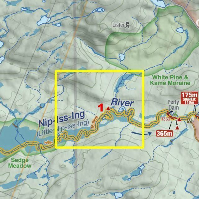
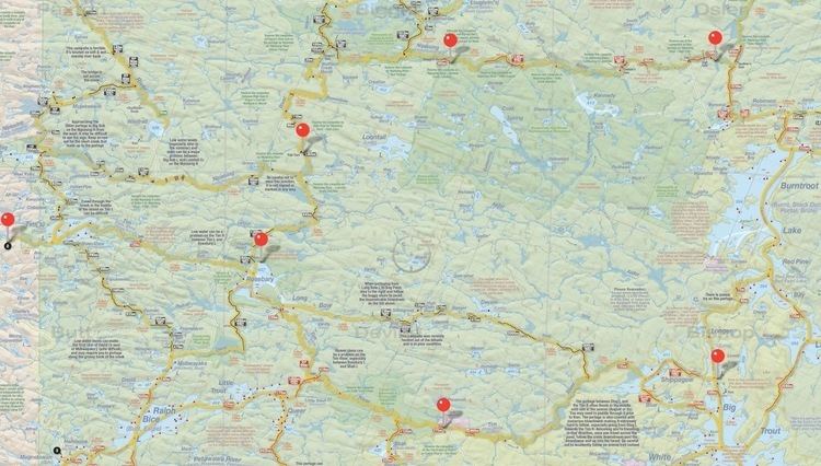
The river begins at Big Bob Lake in geographic Paxton Township and flows east, passes briefly through geographic Butt Township and geographic Devine Township, turns north into geographic Biggar Township, then back east, over Stewart's Dam and through the Allen Rapids, and into geographic Osler Township. It continues east over Graham's Dam, the High Falls and Gauthier's Dam, enters geographic Lister Township, flows over the Perley Dam and Rolling Dam, and empties into Cedar Lake on the Petawawa River, across the lake from the community of Brent. The Petawawa flows via the Ottawa River to the Saint Lawrence River.
Tributaries