
Country United States Elevation 524 m Local time Thursday 5:21 AM | GNIS feature ID 0473955 Area 93.44 km² Population 123 (2000) | |
 | ||
Weather 8°C, Wind SE at 10 km/h, 66% Humidity | ||
Eureka Township is a township in Kingman County, Kansas, USA. As of the 2000 census, its population was 123.
Contents
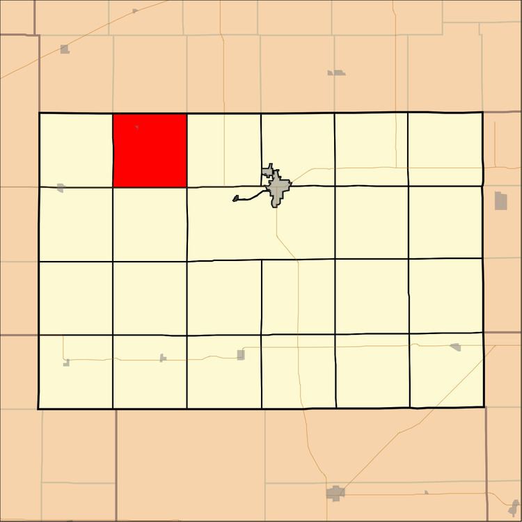
Map of Eureka, KS, USA
Geography
Eureka Township covers an area of 36.08 square miles (93.44 square kilometers); of this, 0.24 square miles (0.63 square kilometers) or 0.67 percent is water.
Cities and towns
Adjacent townships
Major highways
References
Eureka Township, Kingman County, Kansas Wikipedia(Text) CC BY-SA