Girish Mahajan (Editor)

Niangua River

Updated on
Edit
Like
Comment
Share on FacebookTweet on TwitterShare on LinkedInShare on Reddit
- left
  
Little Niangua River

- elevation
  
663 ft (202 m)

Length
  
201 km

Source
  
Marshfield

- elevation
  
1,136 ft (346 m)

- average
  
450 cu ft/s (13 m/s)

Basin area
  
2,694 km²

Country
  
United States of America

Niangua River httpsfllogfileswordpresscom201410f11302jpg

- location
  
- location
  
Mouths
  
Lake of the Ozarks, Osage River

Similar
  
Lake of the Ozarks, Bagnell Dam, Grand Glaize Bridge, Jacks Fork, Truman Reservoir

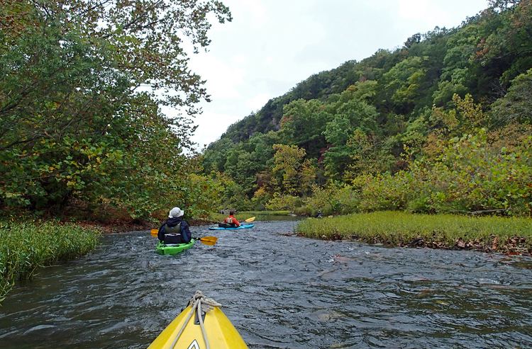
Niangua river oasis 2016 nro float trip


The Niangua River /nˈæŋɡwə/ is a 125-mile-long (201 km) tributary of the Osage River in the Ozarks region of southern and central Missouri in the United States. Via the Osage and Missouri rivers it is part of the watershed of the Mississippi River.

Contents

Map of Niangua River, Warren Township, MO, USA

Niangua River has the name of Niangua (or Nehemgar), an Indian tribal leader. The name is said to mean "bear".

Canoe surfing on the niangua river


CourseEdit

The Niangua River is formed in Webster County by the confluence of its short east and west forks, and flows generally northward through Dallas, Laclede and Camden counties, past Bennett Spring, Lake Niangua, and Ha Ha Tonka State Parks. It flows into the Osage River as an arm of the Lake of the Ozarks, which is formed by the Bagnell Dam on the Osage. As part of the lake it collects the Little Niangua River.

River accessesEdit

This is a list of areas where the Niangua River can be publicly accessed; this list was put in order from beginning of river to where river meets up with Lake of the Ozarks.

  • Charity Access- State-owned river access; no camping allowed.
  • Cline Ford
  • Hico Slab- Where a road crosses the river; the bridge is basically a low-lying concrete slab with water tunnels.
  • Del Marlin Ford
  • Deusenberry Creek
  • Gaunt Ford
  • Crane Ford
  • Route 32 Bridge
  • Big John Access- State-owned river access.
  • Wimberly Ford
  • Dallion Ford
  • Hackler Ford
  • Williams Ford Access- A one lane road crossing; crossing is a concrete slab where water flows over the top.
  • Hwy. K-P Bridge Access- Access includes privately owned campground, picnic area, and shuttle service.
  • Moon Valley Access- State-owned river access.
  • Hildebrand Ford
  • Cat Hollow- Privately owned campground and cabins nearby.
  • Route 64 Bridge
  • Bennett Spring Access- State-owned river access.
  • Barclary Springs- State-owned river access.
  • Gilbertson Ford
  • Prosperine Access- State-owned river access.
  • Mountain Creek- Access includes privately owned campground, picnic area, cabins and shuttle service.
  • McPheters Ford
  • Smith Ford
  • Leadmine Conservation Area- State-owned river access and conservation area; primitive camping allowed.
  • Lake Niangua- Includes access and picnic area; no camping allowed.
  • Whistle Bridge- Low-lying river crossing where road crosses river.
  • Stone Ford
  • Ha Ha Tonka State Park- State-owned river access; this is where the river merges into Lake of the Ozarks.
  • References

    Niangua River Wikipedia