
Website www.ngora.go.ug Area 721.4 km² | Time zone EAT (UTC+3) Elevation 1,100 m | |
 | ||
Region Eastern Region of Uganda | ||
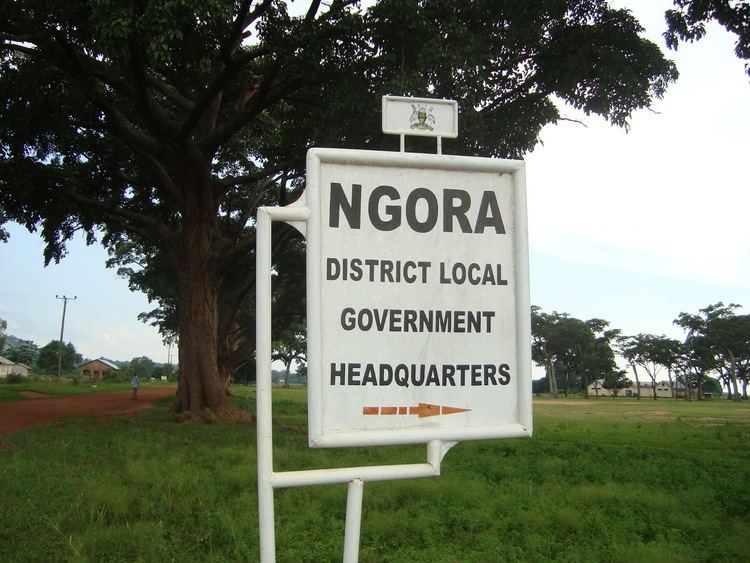
Ngora District is a district in the Eastern Region of Uganda. The town of Ngora is the site of the district headquarters.
Contents
Map of Ngora, Uganda
Location
Ngora District is bordered by Soroti District to the northwest, Katakwi District to the northeast, Kumi District to the east, Pallisa District to the south, and Serere District to the west. The district headquarters are located approximately 23 kilometres (14 mi), by road, west of Kumi, the nearest large town. This is approximately 230 kilometres (140 mi), by road, northeast of Kampala, the capital of Uganda. The coordinates of the district are:01 30N, 33 48E.
Overview
Ngora District was established on 1 July 2010 by the Ugandan parliament. Before that, it was part of the Kumi District. Ngora District together with Amuria District, Bukedea District, Kaberamaido District, Katakwi District, Kumi District, Serere District, and Soroti District comprise the Teso sub-region, home to an estimated 2.5 million people of Iteso and Kumam ethnicities. Ngora County is the only county in Ngora District.
Population
In 1991, the national population census estimated the district population at 59,400. The 2002 national census estimated the population at 101,900. The annual population growth rate in the district has been calculated at 4.5 percent. It has been estimated that the population of Ngora District in 2012 was 157,400.