
Local time Sunday 2:43 AM | Elevation 980 m | |
 | ||
Weather 21°C, Wind S at 6 km/h, 76% Humidity | ||
Kumi Town, commonly refeered to as Kumi, is a town in the Eastern Region of Uganda. It is the main municipal, administrative, and commercial center in Kumi District and is the site of the district headquarters.
Contents
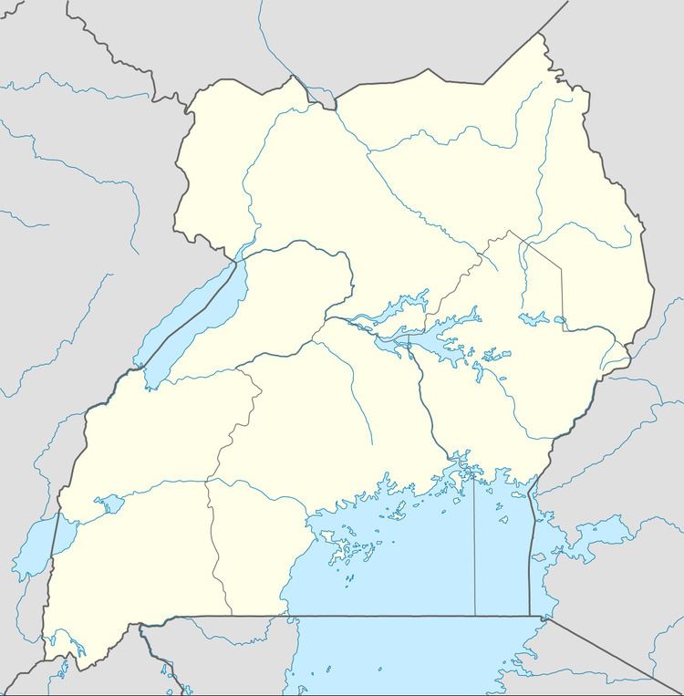
Map of Kumi, Uganda
Location
Kumi is approximately 65 kilometres (40 mi), by road, northwest of Mbale, on the highway between Mbale and Soroti. This is approximately 54 kilometres (34 mi), by road, southeast of Soroti, the largest town in the Teso sub-region Kumi is about 250 kilometres (160 mi), by road, northeast of Kampala, the capital of Uganda and its largest city. The coordinates of the town are 1°29'36.0"N, 33°56'15.0"E (Latitude:1.493334; Longitude:33.937500).
Population
The national census in 2002 estimated the population of the town of Kumi at 8,800. In 2010, the Uganda Bureau of Statistics (UBOS) estimated the population at 12,500. In 2011, UBOS estimated the mid-year population at 13,000.
Points of interest
The following additional points of interest lie within the town limits or close to the edges of town: