
Local time Sunday 8:08 PM | Elevation 1,100 m | |
 | ||
Weather 18°C, Wind NE at 8 km/h, 90% Humidity | ||
Ngora is a town in the Eastern Region of Uganda. It is the main political, administrative, and commercial centre of Ngora District.
Contents
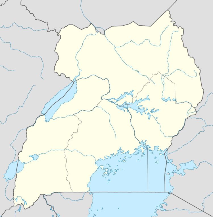
Map of Ngora, Uganda
Location
Ngora is approximately 46 kilometres (29 mi), by road, southeast of Soroti, the largest city in the Teso sub-region. This is approximately 250 kilometres (160 mi), by road, northeast of Kampala, the capital and largest city of Uganda. The coordinates of the town are 1°27'27.0"N, 33°46'35.0"E (Latitude:1.457500; Longitude:33.776389).
Population
The population census in 2002 put Ngora town's population at 11,333. In April 2013, local authorities estimated the population to be 20,000. In 2014, the national population census put the population at 15,086.
Points of interest
The following additional points of interest lie within the town limits or close to its edges: