
Population 0 (2011 census) Postcode(s) 5302 State electorate(s) ChaffeyMacKillop Postal code 5302 | Established 1999 Time zone ACST (UTC+9:30) Founded 1999 | |
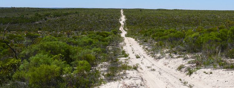 | ||
Ngarkat is a locality in South Australia located in the south-east of the state in both the Murray Mallee and the Limestone Coast regions about 227 kilometres (141 mi) south east of the Adelaide city centre.
Map of Ngarkat SA 5302, Australia
Its boundaries were created firstly in August 1999 for the part in the Southern Mallee District Council followed by the part in the Tatiara District Council during March 2000 and finally by the part in the Coorong District Council during August 2000. Its name is derived from the Ngarkat Conservation Park.
The principal land use within the locality is conservation with the majority of the land being located in the Ngarkat Conservation Park with the exception of a parcel of land between the Ngarkat Highway and the Victorian border within the Tatiara District Council.
Ngarkat is located within the federal Division of Barker, the state electoral districts of Chaffey and Mackillop, and the local government areas of the Coorong District Council, the Tatiara District Council and the Southern Mallee District Council.