
Type Highway Route number(s) B57 | Length 115 km (71 mi) | |
 | ||
Coordinates (north end) (south end) south end | ||
The Ngarkat Highway is a road in the southeastern part of South Australia, connecting Pinnaroo and Bordertown. It is designated as part of route B57 which continues north from Pinnaroo as the Browns Well Highway to Loxton. The route duplexes with B12 on the Mallee Highway for 6 km west of Pinnaroo. It ends at Cannawigara on the Dukes Highway 12 km west of Bordertown.
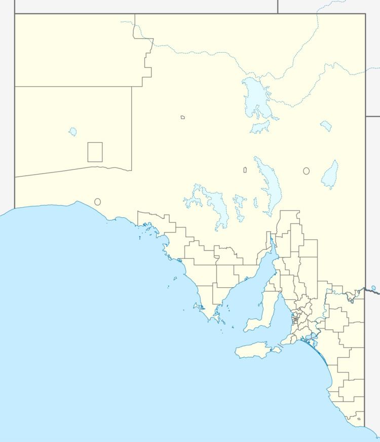
Map of Ngarkat Hwy, South Australia, Australia
The Ngarkat Highway passes through Ngarkat Conservation Park, but no significant settlements or road junctions.
References
Ngarkat Highway Wikipedia(Text) CC BY-SA