
Length 175.7 km | ||
 | ||
Counties | ||
State Road 9 (NM 9) is a 109.154-mile (175.666 km) long state road in the U.S. state of New Mexico. The highway spans Hidalgo, Grant, and Luna counties from NM 80 to CR A003 at the Doña Ana county line.
Contents
Map of NM-9, New Mexico, USA
Route description
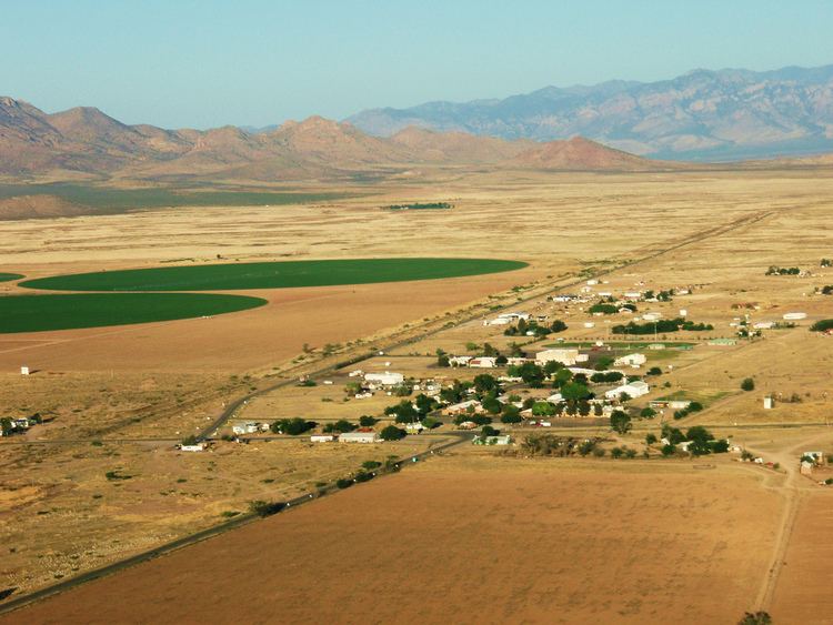
The highway's western terminus is at New Mexico State Road 80 north of Rodeo, in the San Simon Valley close to the border to Arizona. The route then climbs through Antelope Pass, a gap in the Peloncillo Mountains, into the Animas Valley where it intersects with NM 338 in the town of Animas. A few miles east of Animas, the road again climbs and crosses the Continental Divide the first of three times, then intersects with NM 113 (which goes northbound to I-10). Continuing east, the road crosses the Continental Divide twice in less than 2 miles (3 km), then descends to the Hachita Valley. In Hachita, the road intersects first with NM 146 (which goes northbound to I-10) in the small village of Hachita, then with NM 81 (which goes south to Antelope Wells, and into Mexico). From Hachita, NM 9 continues ESE, then generally East to Columbus, where it intersects with NM 11 (which goes north to Deming and south to Palomas, Mexico). East of Columbus, NM 9 stays within 3 miles (4.8 km) of the Mexican border. NM 9 officially ends at the Dona Ana County line, but the road continues as Dona Ana County Road A003 to the Pete Domenici Highway just west of El Paso, Texas.