
Country United States ZIP code 88040 Elevation 1,378 m Population 49 (2010) | Time zone Mountain (MST) (UTC-7) Area code(s) 575 Area 10.55 km² Local time Tuesday 5:33 AM | |
 | ||
Weather 6°C, Wind SE at 5 km/h, 48% Humidity | ||
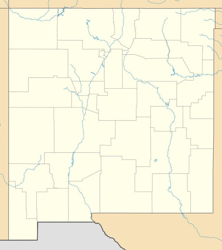
Hachita is a census-designated place in Grant County, New Mexico, United States. Its population was 49 as of the 2010 census. Hachita has a post office with ZIP code 88040. New Mexico State Road 9, New Mexico State Road 81, and New Mexico State Road 146 pass through the community. Hachita is not to be confused with Old Hachita, which is a ghost town several miles west of town.
Map of Hachita, NM 88040, USA
References
Hachita, New Mexico Wikipedia(Text) CC BY-SA