
Length 80.51 km | ||
 | ||
Counties | ||
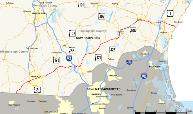
New Hampshire Route 111 (abbreviated NH 111) is a 50.027-mile-long (80.511 km) east–west highway in Hillsborough and Rockingham counties in southeastern New Hampshire. The road runs from the Massachusetts border at Hollis to North Hampton on the Atlantic shore.
Contents
- Map of NH 111 New Hampshire USA
- History
- New Hampshire Route 111A
- Western segment
- Middle segment
- Eastern segment
- References
Map of NH-111, New Hampshire, USA
The western terminus of NH 111 is at the Massachusetts state line in Hollis, where, as Massachusetts Route 111 (Nashua Road), the road continues into the town of Pepperell, Massachusetts. The eastern terminus of NH 111 is at the junction with Ocean Boulevard (New Hampshire Route 1A) in North Hampton. At its terminus, the road is known as Atlantic Avenue.
History
The portion of NH 111 between New Hampshire Route 27 in Hampton and NH 1A in Hampton Beach was once designated New Hampshire Route 101D.
New Hampshire Route 111A
New Hampshire Route 111A is a designation held by three separate state highways in New Hampshire. Although none of the segments directly connect, all three roadways are linked by their parent, New Hampshire Route 111.
Western segment
The western segment of NH 111A is a 4.935-mile-long (7.942 km) east–west loop road in Hollis and Nashua in Hillsborough County.
The eastern terminus is in Nashua at NH 111, west of the point where NH 111 and U.S. Route 3 meet. At that location, NH 111A is known as Main Dunstable Road. The western terminus is at NH 111 approximately 0.8 miles (1.3 km) north of the Massachusetts state line in Hollis. At that location, NH 111A is called South Depot Road.
Middle segment
The middle segment of NH 111A is a 9.173-mile-long (14.763 km) northeast–southwest highway between Pelham in Hillsborough County and Windham in Rockingham County. It is signed as an east–west highway.
The southern, officially western, terminus is in the town of Pelham at New Hampshire Route 128 (Mammoth Road) approximately 0.5 miles (0.80 km) north of the Massachusetts state line. At this point, the road is named Marsh Road. The northern, signed eastern, terminus of the highway is in the town of Windham at NH 111 between Cobbetts Pond and Canobie Lake. At this point, the road is known as Range Road.
Eastern segment
The eastern segment of NH 111A is a 15.024-mile-long (24.179 km) southwest–northeast highway between Danville and Exeter in Rockingham County. It is signed as an east–west highway.
The eastern terminus of this segment of NH 111A is in Exeter at NH 111 on the west side of String Bridge. At this location, NH 111A is named Water Street. The western terminus is in Danville at NH 111. At that location, the road is known as Main Street.