
Country United States County Rockingham Time zone Eastern (UTC-5) Area 30.8 km² Zip code 03819 | Incorporated 1760 Area code(s) 603 Elevation 62 m Population 4,387 (2010) | |
 | ||
Weather -6°C, Wind NW at 16 km/h, 46% Humidity | ||
Video of 70 sandown road danville new hampshire real estate homes
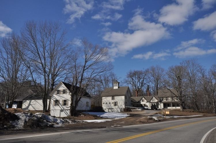
Danville is a town in Rockingham County, New Hampshire, United States. The population was 4,387 at the 2010 census. Danville is part of the Timberlane Regional School District, with students attending Danville Elementary School, Timberlane Regional Middle School, and Timberlane Regional High School.
Contents
- Video of 70 sandown road danville new hampshire real estate homes
- Map of Danville NH USA
- History
- Geography
- Demographics
- References
Map of Danville, NH, USA
History
Originally a parish of Kingston, it was chartered in 1760 as Hawke, after Admiral Sir Edward Hawke. After the town of Hawke was eradicated by the smallpox epidemic, a new town was settled in the same area and was named in 1836 after early settlers, at least three of whom had been named Daniel.
Geography
According to the United States Census Bureau, the town has a total area of 11.9 square miles (31 km2), of which 11.7 sq mi (30 km2) is land and 0.2 sq mi (0.52 km2) is water, comprising 1.68% of the town. The highest named summit in Danville is Rock Rimmon Hill, with an elevation greater than 350 feet (110 m) above sea level on the town's eastern border. An unnamed hill on the town's western border also tops 350 feet. The southern two-thirds of Danville lies within the Merrimack River watershed, and the northern third is in the Piscataqua River (Coastal) watershed.
Demographics
As of the census of 2000, there were 4,023 people, 1,428 households, and 1,122 families residing in the town. The population density was 343.6 people per square mile (132.6/km²). There were 1,479 housing units at an average density of 126.3 per square mile (48.8/km²). The racial makeup of the town was 97.59% White, 0.57% African American, 0.27% Native American, 0.35% Asian, 0.02% Pacific Islander, 0.30% from other races, and 0.89% from two or more races. Hispanic or Latino of any race were 0.85% of the population.
There were 1,428 households out of which 42.3% had children under the age of 18 living with them, 68.3% were married couples living together, 6.8% had a female householder with no husband present, and 21.4% were non-families. 16.5% of all households were made up of individuals and 4.1% had someone living alone who was 65 years of age or older. The average household size was 2.82 and the average family size was 3.18.
In the town, the population was spread out with 29.2% under the age of 18, 4.4% from 18 to 24, 37.0% from 25 to 44, 22.2% from 45 to 64, and 7.1% who were 65 years of age or older. The median age was 35 years. For every 100 females there were 104.7 males. For every 100 females age 18 and over, there were 101.5 males.
The median income for a household in the town was $57,287, and the median income for a family was $63,239. Males had a median income of $45,122 versus $29,351 for females. The per capita income for the town was $22,152. About 3.2% of families and 4.0% of the population were below the poverty line, including 5.5% of those under age 18 and 8.4% of those age 65 or over.