
Country United States ZIP code 20187 Elevation 151 m Local time Saturday 1:09 AM | Time zone Eastern (EST) (UTC-5) FIPS code 51-55528 Area 31.8 km² Population 8,119 (2010) | |
 | ||
Weather 15°C, Wind SW at 6 km/h, 59% Humidity | ||
New Baltimore is an unincorporated community and census-designated place (CDP) in eastern Fauquier County, Virginia, United States. The population as of the 2010 census was 8,119. The community has existed since the early 19th century, but it has had its most significant growth since the 1980s. It is the portion of Fauquier County with the easiest access to Washington, D.C., and as a result, many people who live in New Baltimore commute into DC. Other major communities close to New Baltimore are Warrenton, Gainesville/Haymarket area, and Manassas. The area officially considered to be New Baltimore expanded significantly in 2006 with Fauquier County's designation of service districts, of which New Baltimore is one. The service district designation provides added access to utilities such as water and sewer, and targets the area for growth.
Contents
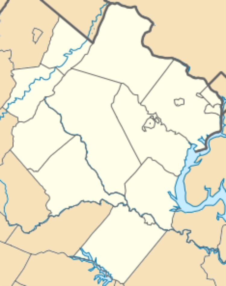
Map of New Baltimore, VA 20137, USA
History
The original New Baltimore is northwest of and slightly off the highway from what is now part of the New Baltimore CDP. The early 19th century community of New Baltimore was an incorporated town dependent on what was then known as Alexandria Turnpike, now known as Lee Highway, which went right through it. This community had an Episcopal church, as well as a Baptist church founded in 1762. In the 1850s New Baltimore was a post village with a church and a school. Its postmaster's salary was $19 in 1870.
The U.S. Post Office listed it in 1897, but not in 1908. Between those dates, Lee Highway was routed to the south of New Baltimore, so the town became just an enclave of houses from varying periods. The original central point of the town, James Hampton's Tavern (built 1823), still stands at the intersection of Old Alexandria Turnpike and Georgetown Road, and is currently a private residence. The New Baltimore Historic District was listed on the National Register of Historic Places in 2004.
Geography
New Baltimore is 2 miles (3 km) southwest of the border between Prince William County and Fauquier County. It is 1 mile (1.6 km) north of Broken Hill, 6 miles (10 km) northeast of Warrenton, the Fauquier County seat, and 6 miles (10 km) west of Gainesville.
The major road in the community remains Lee Highway, U.S. Route 15/29. Another important road is Beverley's Mill Road / Broad Run Church Road (County Route 600), which technically a secondary road, now a well-traveled commuter road.
The New Baltimore CDP now extends well south and east of the original settlement. The CDP border follows US 15/29 east to Riley Road, then south to Broad Run Church Road, then east to Vint Hill Road (Virginia State Route 215), then southeast to the Prince William County line. Following the county line southeast, the CDP border briefly turns south along an intermittent brook, then turns southwest on Rogues Road to Dumfries Road, turning northwest back to US 15 and 29 less than 1 mile northeast of the Warrenton town limits. The CDP limits turn northeast along US 15/29, then north on Mill Run to Rosedale Farm Road, then west on Old Bust Head Road, north along lot lines to Snow Mountain Road, east back to Old Bust Head Road, east further to Georgetown Road, then east and south along lot lines around the original New Baltimore back to US 15/29. The CDP limits include the former Vint Hill Farms Station military site.
According to the U.S. Census Bureau, the current New Baltimore CDP has a total area of 12.3 square miles (31.8 km2), of which 12.0 square miles (31.1 km2) is land and 0.3 square miles (0.7 km2), or 2.07%, is water. The community is part of the Cedar Run and Broad Run watersheds, which join to form the Occoquan River, a tributary of the Potomac.