
Length 199.2 km | Constructed 29 June 1956 | |
 | ||
Existed: June 29, 1956 – present | ||
Grand circle tour i ep 2 interstate 15 in nevada north
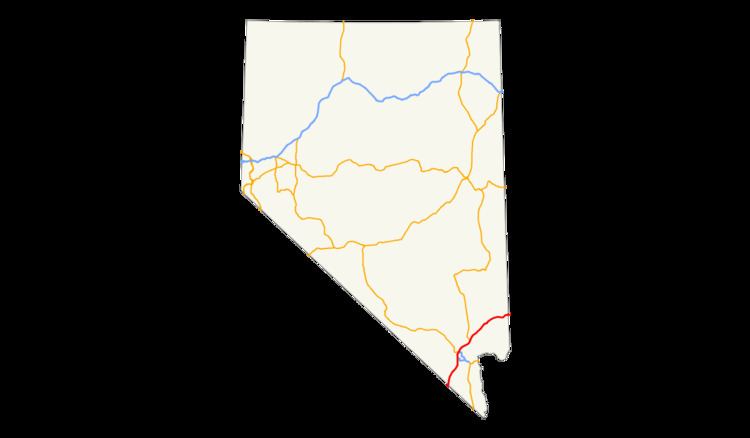
Interstate 15 (I-15) is an Interstate Highway in the U.S. state of Nevada that begins in Primm, continues through Las Vegas and it crosses the border with Arizona in Mesquite. The freeway runs entirely in Clark County. Many motorists use I-15 to visit Las Vegas, as it is the only primary Interstate Highway in the city. The highway was built along the corridor of the older U.S. Route 91 (US 91) and Arrowhead Trail, eventually replacing both of these designations.
Contents
- Grand circle tour i ep 2 interstate 15 in nevada north
- Route description
- Early routes
- Interstate development
- Exit list
- References
Route description
Motorists in California leave the mountainous Mojave Desert and begin a long descent through Ivanpah Valley and Ivanpah Dry Lake. I-15 crosses the Nevada state line at the first exit, Primm. Once I-15 leaves Primm, the route travels north through the desert with few services. The highway then enters the Las Vegas urban area upon passing the State Route 146 (SR 146, Saint Rose Parkway) interchange. Quickly thereafter, the Interstate meets I-215 at the Southern Beltway Interchange, which provides access to Henderson and McCarran International Airport. Originally, this interchange was termed Son of Spaghetti Bowl by the Las Vegas Review-Journal when the interchange was built.
I-15 travels along the west side of the Las Vegas Strip corridor and just west of downtown Las Vegas just before its junction with I-515 and US 95 (the "Spaghetti Bowl" interchange). Then the interstate enters North Las Vegas and continues to run roughly parallel to Las Vegas Boulevard (old US 91) as it leaves the Las Vegas urban limits near the northern junction with the Clark County 215 beltway.
Once I-15 leaves North Las Vegas, the freeway travels northeast and crosses the Muddy River at Glendale and then climbs up onto the Mormon Mesa. At Mesquite, the freeway then crosses the Arizona state line and cuts through the extreme northwestern corner of Arizona through the Virgin River Gorge before entering Utah.
Early routes
The general location of the I-15 corridor through Nevada can be traced as far back as the early 1900s. Regular automobile travel through southern Nevada was established by 1914 along the Arrowhead Trail, a road connecting Los Angeles and Salt Lake City. In 1919, the Nevada Legislature amended its newly adopted highway law to add SR 6, which was described as "Commencing at the Arizona line near Mesquite and running southwesterly over what is now known as the Arrow Head [sic] trail through Las Vegas to Jean, Nevada." Two years later, the route was revised to pass through Las Vegas and head "via Jean or Goodsprings to a junction with the California state highway system."
US 91 was later proposed as part of the original 1925 U.S. Highway System plan. As originally proposed, US 91 would have followed SR 6 southwest from Mesquite to downtown Las Vegas, where it would then turn southeast along SR 5 to California via Searchlight. The revised 1926 plan had proposed US 91 follow SR 6 through Las Vegas and Jean to the California state line. Nevada's 1927 official highway map reflects the routing of the final 1926 plan; however, a few maps from the era indicate the original proposal.
US 91/SR 6 began at Primm and followed the Los Angeles Highway towards Las Vegas. Within the city limits, it ran along Fifth Street (now Las Vegas Boulevard) through downtown and into North Las Vegas, where it departed from 5th at Main Street. Exiting the Las Vegas area to the northeast, US 91 became the Salt Lake Highway and then headed towards Apex and Glendale. The highway then curved east-northeast before following present-day SR 170 through Riverside and Bunkerville into Mesquite. US 91 was routed through that city on Mesquite Boulevard, Sandhill Boulevard and Fairview Avenue before crossing the Arizona state line. By 1929, the alignment of US 91/SR 6 was graded throughout much of the state, a distance of 129.5 miles (208.4 km).
The route eventually gained two other highway overlaps. US 466 was christened in 1934, and was routed concurrently along US 91 from California to downtown Las Vegas before heading southeast to Hoover Dam (the route was deleted in 1971). Also, in 1936, US 93 was extended from its 1932 southern terminus at Glendale, over US 91 to downtown Las Vegas on its way to Hoover Dam.
Interstate development
A new alignment of US 91 was completed in 1955. This bypassed both Bunkerville and Mesquite to the northwest, along what would become the future path of I-15. The original alignment through Bunkerville is now SR 170.
The passage of the Federal Aid Highway Act of 1956 quickly brought upgrades to the US 91 corridor. The first section of the newly designated I-15 opened by 1960. This stretch extended from the California state line to just north of Sloan. In 1963, the new freeway reached the south end of the Las Vegas Valley at Blue Diamond Road, and more than 20 miles (32 km) south of Glendale was also finished. By 1967, I-15 had been constructed along the entire length of US 91 except through parts of Las Vegas and near Mesquite.
The final sections of I-15 to be completed were in North Las Vegas and near the Arizona state line. Both of these sections were completed in 1974. The US 91 designation, which had remained on its original alignment during the construction of the Interstate, was made redundant by the new freeway and was removed in 1974.
Between Las Vegas and the Nevada state line, the Nevada Department of Transportation (NDOT) added callboxes at one-mile (1.6 km) intervals in the mid-2000s, used for motorists who end up with vehicle problems and don't have access to a cell phone. This was done as part of a larger project that expanded this portion of the freeway to three travel lanes in each direction to coordinate with a similar effort in California.
Exit list
The entire route is in Clark County.