
Time zone CET/CEST (UTC+1/+2) Area 30.95 km² Local time Saturday 12:40 AM Dialling code 036481 | Elevation 300 m (1,000 ft) Postal codes 07806 Population 8,514 (31 Dec 2008) Postal code 07806 | |
 | ||
Weather 2°C, Wind E at 8 km/h, 87% Humidity | ||
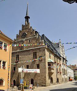
Neustadt an der Orla is a town in Saale-Orla-Kreis district, in Thuringia. It is situated at the small river Orla, 17 km north of Schleiz, and 25 km southeast of Jena.
Contents
- Map of 07806 Neustadt an der Orla Germany
- Setting
- Towns and villages in the neighbourhood
- Parts of Neustadt an der Orla
- History
- Sons and daughters of the town
- Other personalities
- References
Map of 07806 Neustadt an der Orla, Germany
Setting
The additive, which differentiates Neustadt an der Orla from other towns named Neustadt, owed the town the Orla River. The Orla rises east of the town Triptis. Near Orlamünde the Orla flows into the river Saale. The district is called after these two rivers that are typical for this region.
Towns and villages in the neighbourhood
Pillingsdorf, Rosendorf, Dreitzsch, Schmieritz, Linda b. Neustadt an der Orla, Kospoda, Weira, Lausnitz b. Neustadt an der Orla, Langenorla, Trockenborn-Wolfersdorf und Breitenhain.
Parts of Neustadt an der Orla
Total area: 30,95 km²
History
Within the German Empire (1871-1918), Neustadt an der Orla was part of the Grand Duchy of Saxe-Weimar-Eisenach.
Sons and daughters of the town
Other personalities
Olbe 2000 km²