 | ||
Neumayer channel in antarctica
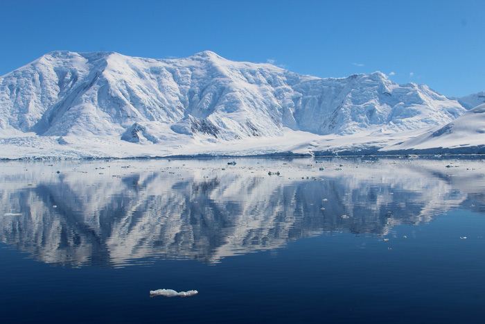
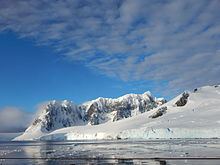
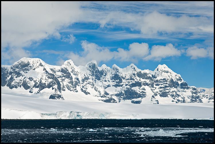
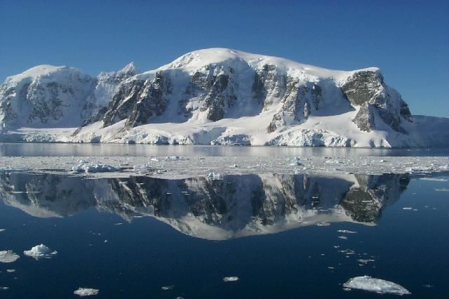
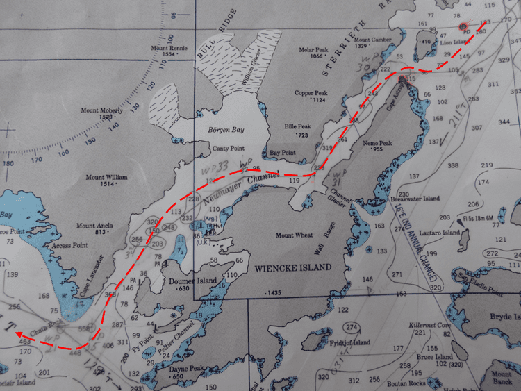
Neumayer Channel (64°47′26″S 63°8′21″W) is a channel 16 miles (26 km) long in a NE-SW direction and about 1.5 miles (2.4 km) wide, separating Anvers Island from Wiencke Island and Doumer Island, in the Palmer Archipelago. The southwest entrance to this channel was seen by Eduard Dallmann, leader of the German 1873-74 expedition, who named it Roosen Channel. The Belgian Antarctic Expedition, 1897–99, under Gerlache, sailed through the channel and named it for Georg von Neumayer. The second name has been approved because of more general usage.
Contents
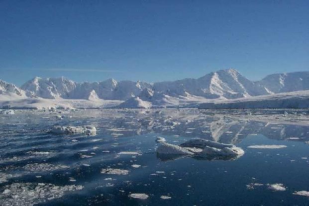
Neumayer Channel is known for its majestic cliffs, an attraction for tourists who come to the region. It is said to be like a maze with no visible exits because of its inverted S-shape. Its entrance and exits both have sharp bends.
This article incorporates public domain material from the United States Geological Survey document "Neumayer Channel" (content from the Geographic Names Information System).
Antarctica neumayer channel