
Area 340.4 km² | Time zone BST (UTC+6) Population 372,785 (2011) | |
 | ||
Website Official Map of Netrokona Sadar | ||
Netrokona Sadar (Bengali: নেত্রকোনা সদর) is an Upazila of Netrokona District in the Division of Mymensingh, Bangladesh.
Contents
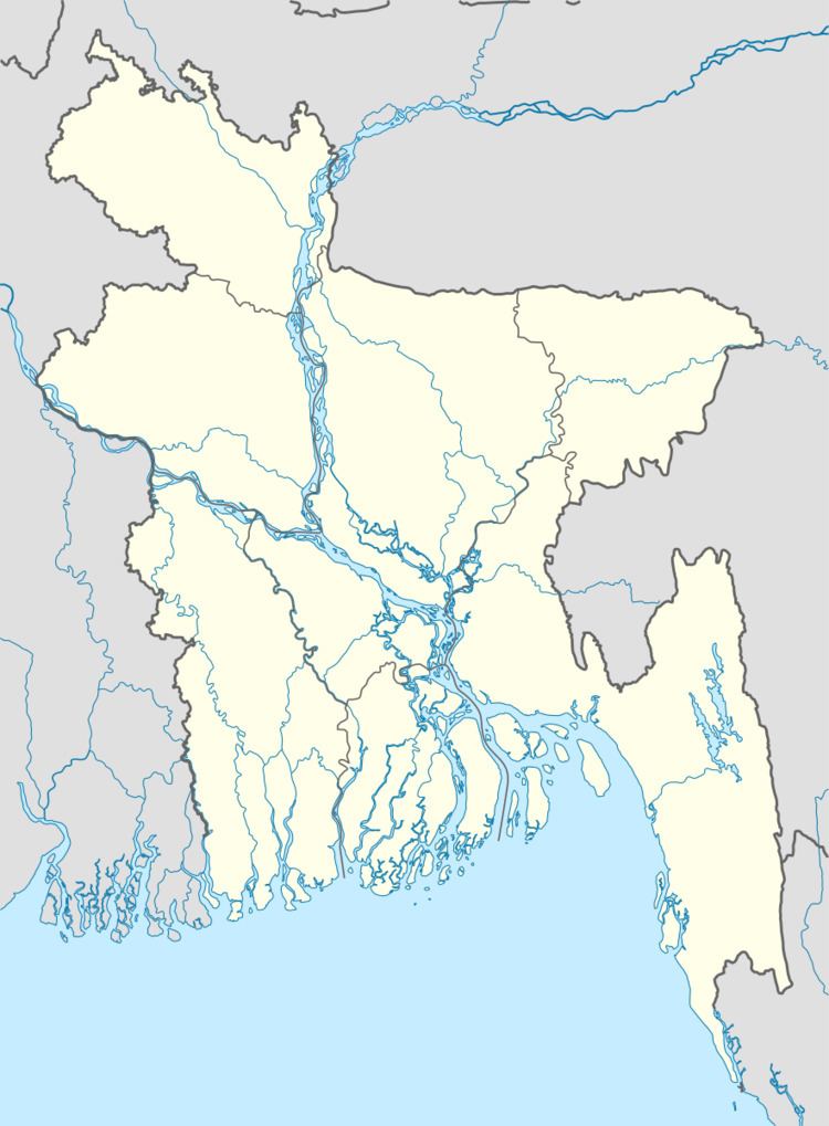
Map of Netrokona, Bangladesh
Geography
Netrokona Sadar information is located at 24.8750°N 90.7333°E / 24.8750; 90.7333 . It has 51039 households and total area 340.35 km².
Demographics
As of the 1991 Bangladesh census, Netrokona Sadar has a population of 265643. Males constitute 51.36% of the population, and females 48.64%. This Upazila's eighteen up population is 134197. Netrokona Sadar has an average literacy rate of 28.4% (7+ years), and the national average of 32.4% literate.
Administration
Netrokona Sadar has 15 Unions/Wards, 317 Mauzas/Mahallas, and 344 villages.
References
Netrokona Sadar Upazila Wikipedia(Text) CC BY-SA