
Country United States County Jackson FIPS code 20-49950 Elevation 351 m Zip code 66516 Population 144 (2013) | Time zone Central (CST) (UTC-6) GNIS feature ID 0473456 Area 254 ha Local time Friday 11:29 AM Area code 785 | |
 | ||
Weather 19°C, Wind S at 14 km/h, 62% Humidity | ||
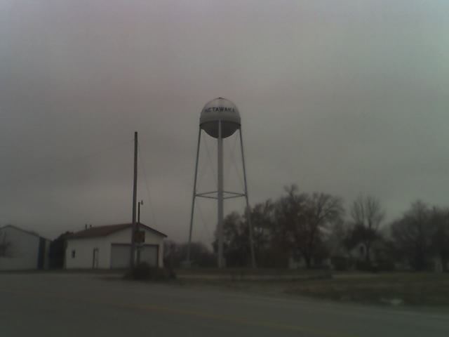
Netawaka is a city in Jackson County, Kansas, United States. As of the 2010 census, the city population was 143.
Contents
Map of Netawaka, KS 66516, USA
History
Netawaka was founded in 1866. Netawaka is a Pottawatami Native American name meaning "grand view".
The first post office in Netawaka was established in January 1868.
Geography
Netawaka is located at 39°36′12″N 95°43′8″W (39.603238, -95.718753). According to the United States Census Bureau, the city has a total area of 0.98 square miles (2.54 km2), all of it land.
2010 census
As of the census of 2010, there were 143 people, 58 households, and 43 families residing in the city. The population density was 145.9 inhabitants per square mile (56.3/km2). There were 62 housing units at an average density of 63.3 per square mile (24.4/km2). The racial makeup of the city was 97.9% White, 0.7% African American, and 1.4% Native American. Hispanic or Latino of any race were 1.4% of the population.
There were 58 households of which 31.0% had children under the age of 18 living with them, 62.1% were married couples living together, 6.9% had a female householder with no husband present, 5.2% had a male householder with no wife present, and 25.9% were non-families. 24.1% of all households were made up of individuals and 6.9% had someone living alone who was 65 years of age or older. The average household size was 2.47 and the average family size was 2.88.
The median age in the city was 44.5 years. 23.8% of residents were under the age of 18; 5.6% were between the ages of 18 and 24; 21% were from 25 to 44; 39.2% were from 45 to 64; and 10.5% were 65 years of age or older. The gender makeup of the city was 53.8% male and 46.2% female.
2000 census
As of the census of 2000, there were 170 people, 62 households, and 47 families residing in the city. The population density was 174.1 people per square mile (67.0/km²). There were 66 housing units at an average density of 67.6 per square mile (26.0/km²). The racial makeup of the city was 94.12% White, 5.29% Native American, and 0.59% from two or more races.
There were 62 households out of which 40.3% had children under the age of 18 living with them, 64.5% were married couples living together, 6.5% had a female householder with no husband present, and 22.6% were non-families. 22.6% of all households were made up of individuals and 9.7% had someone living alone who was 65 years of age or older. The average household size was 2.74 and the average family size was 3.10.
In the city, the population was spread out with 31.2% under the age of 18, 5.9% from 18 to 24, 27.1% from 25 to 44, 25.3% from 45 to 64, and 10.6% who were 65 years of age or older. The median age was 36 years. For every 100 females there were 123.7 males. For every 100 females age 18 and over, there were 98.3 males.
The median income for a household in the city was $30,417, and the median income for a family was $35,000. Males had a median income of $29,688 versus $16,719 for females. The per capita income for the city was $13,705. About 20.5% of families and 19.0% of the population were below the poverty line, including 25.4% of those under the age of eighteen and 45.5% of those sixty five or over.