
Postcode(s) 4816 | Postal code 4816 | |
 | ||
Location 1,680 km (1,044 mi) NW of Brisbane308 km (191 mi) E of Mount Isa50 km (31 mi) E of Julia Creek Weather 28°C, Wind E at 11 km/h, 64% Humidity | ||
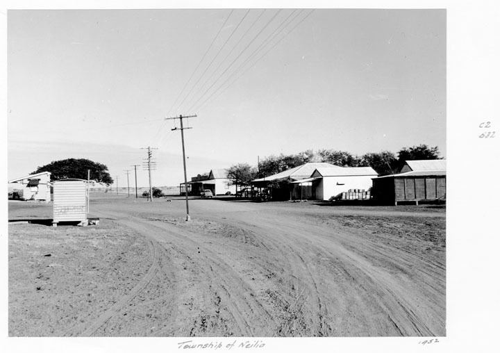
Nelia is a town in north western Queensland, Australia. The town is in the Shire of McKinlay local government area, on the Flinders Highway, 1,680 kilometres (1,040 mi) north west of the state capital, Brisbane.
The area was named by explorer William Landsborough after a friend of his wife. European settlement began in the 1870s with the establishment of the Willibah and Benannee runs. Nelia Post Office opened on 23 June 1909 (a receiving office had been open from 1908). A townsite was surveyed in 1912 and the first land sales took place in 1913. The post office celebrated its centenary in 2009.
The Inlander rail service from Townsville to Mount Isa passes through Nelia.
References
Nelia, Queensland Wikipedia(Text) CC BY-SA