
Population 944 (2010) Region North West Queensland Website Shire of McKinlay Founded 1891 Council seat Julia Creek Federal division Division of Kennedy | Established 1891 State electorate(s) Mount Isa Shire of McKinlay Richmond Area 40,880 km² Mayor Belinda Murphy | |
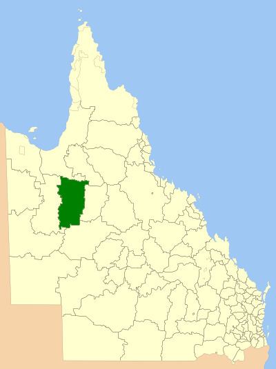 | ||
The Shire of McKinlay is a local government area in north-western Queensland, Australia.
Contents
Map of Mckinlay, QLD, Australia
It covers an area of 40,880.3 square kilometres (15,784.0 sq mi), and has existed as a local government entity since 1891. The shire economy is based on beef production and mining. BHP Billiton operate the Cannington mine in the shire, extracting silver, lead and zinc.
History
The Mackinlay Division was created on 9 December 1891 out of parts of Boulia and Cloncurry under the Divisional Boards Act 1887.
With the passage of the Local Authorities Act 1902, Mackinlay Division became the Shire of Mackinlay on 31 March 1903.
In 1932, the spelling of the shire's name was altered to be Shire of McKinlay, as the shire was named after the explorer John McKinlay.
On 24 July 1930, it was abolished and a new Shire of McKinlay was formed from parts of the Shires of Cloncurry, Mckinlay, Winton and Wyangarie (Richmond).
Towns and localities
The Shire of McKinlay includes the following settlements: