
Zone Debub Gondar Zone Elevation 3,120 m Population 18,691 (2005) | Time zone EAT (UTC+3) Local time Thursday 3:00 PM | |
 | ||
Weather 19°C, Wind S at 6 km/h, 39% Humidity | ||
Nefas Mewcha is a town in northern Ethiopia. Located in the Debub Gondar Zone of the Amhara Region, this town has a latitude and longitude of 11°44′N 38°28′E and an elevation of 3120 meters above sea level. It is the administrative center of Lay Gayint woreda.
Contents
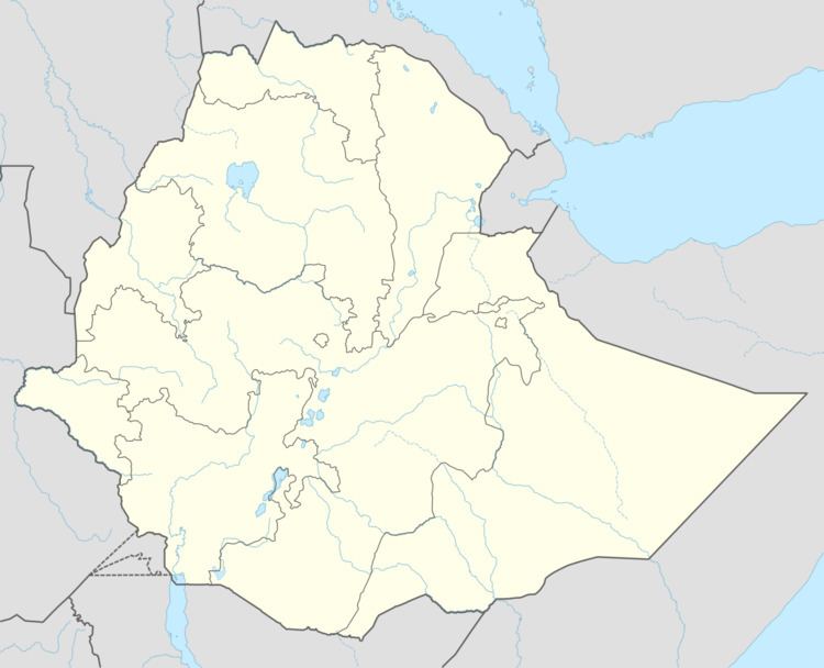
Map of Nefas Meewcha, Ethiopia
Nefas Mewcha lies on the main Debre Tabor - Weldiya highway (also known as the Chinese road), providing it with an all-year link to the Zonal capital of Weldiya.
History
One of the earliest mentions of Nefas Mewcha is in the Royal chronicle of Emperor Susenyos, where the Emperor stopped during his campaign against the rebel Yona'el in 1620.
The Scots explorer James Bruce, who visited Ethiopia in the early 1770s, described Nefas Mewcha as "in the farthest limits" of the province of Begemder at the time, with the Wollo Oromo ruling the territories "behind this". In the last years of his reign, emperor Iyoas I fought a battle against the governor of Begemder, Ya Mariam Bariaw, who had killed his uncle Birale in an earlier battle. Ya Mariam Bariaw was defeated, and severely wounded; he fled to the nearby Wollo, who handed Ya Mariam Bariaw back to the half-Oromo Emperor for punishment.
By 1964, Nefas Mewcha was the administrative center of Gayint awraja.
Demographics
Based on figures from the Central Statistical Agency in 2005, Nefas Mewcha has an estimated total population of 18,691, of whom 9,009 are men and 9,682 were women. The 1994 census reported this town had a total population of 10,808, of whom 4,780 were men and 6,068 were women.