
Population 1,923 UK census 2011 Sovereign state United Kingdom Area 15.48 km² | OS grid reference TF878094 Dialling code 01760 | |
 | ||
Necton is a village situated on a turning off the A47 main road between Swaffham and East Dereham in the Breckland district of mid-Norfolk. As at the 2001 census it has a population of 1,865 residents and an area of 15.48 km2 (5.98 sq mi), increasing to a population of 1,923 at the 2011 Census. It has a number of facilities including a primary school, playing field, social club, pub, post office and a shop.
Contents
Map of Necton, UK
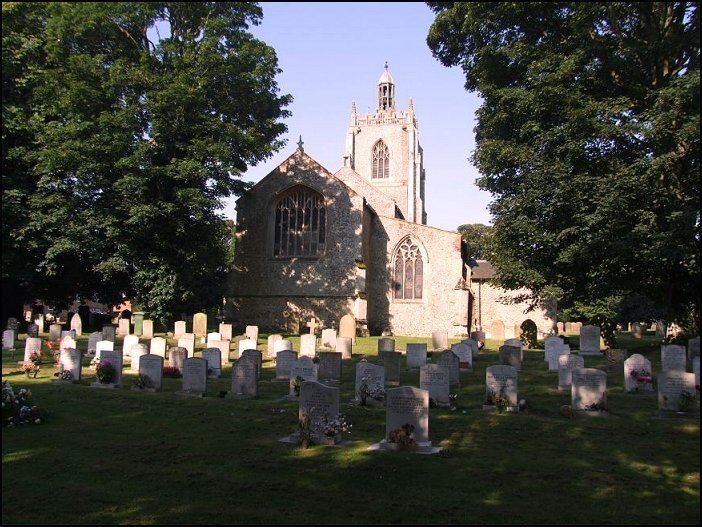
All Saints' church is at the centre of the village in the Benefice of Necton. It is a grade I listed building. In the churchyard is a 14th-century grade II* listed table tomb reputed to be that of the Countess of Warwick.
There is an old mill dating back to 1782 that was in full working order until the 1960s. Necton tower mill was converted into a single storey dwelling with a flat roof by 1970 and is presently a retail facility.