
West end: Hubli Length 432 km | ||
 | ||
States: KarnatakaAndhra Pradesh Primarydestinations: Hubli (junction of NH 48) – Gadag – Hospet – Bellary – Gooty – Jammalamadugu – Proddatur – Mydukur – Nellore – Krishnapatnam Port road Highway system Indian National Highway System | ||
National Highway 67 (NH 67), (previously National Highway 63), is a major National Highway in India. It starts at the junction of NH 48 near Hubli of Karnataka and ends at Krishnapatnam Port road in Andhra Pradesh.
Contents
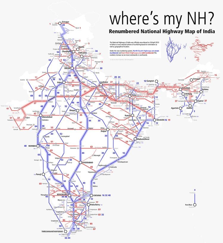
Map of NH67
Route
NH-63 passes through the cities of Hubli, Gadag, Koppal, Hospet, Bellary in Karnataka and Guntakal, Gooty, tadipathri,{[muddanur}][jammalamadugu] Proddatur, Mydukur, Nellore, Krishnapatnam Port road of Andhra Pradesh.
Route length in states:
References
National Highway 67 (India) Wikipedia(Text) CC BY-SA