
Area 7,742 km2 | State Literacy 74.32% | |
Colleges and Universities Swarnandhra College of Engineering and Technology, Vishnu Institute of Technology Destinations | ||
West Godavari District is one of the 13 districts, in the Coastal Andhra region of Andhra Pradesh, India. The district headquarters is located at Eluru. As of 2011 Census, the district had a population of 3,934,782, 19.74% of which is urban population.
Contents
- Map of West Godavari district
- Guntupalli caves west godavari district andhra pradesh india
- West Godavari DistrictTop 20 Famous Tourist Places To Visit In Andhra Pradesh Tourism
- History
- Geography
- Economy
- Culture
- Tourism and landmarks
- References
Map of West Godavari district
Guntupalli caves west godavari district andhra pradesh india
West Godavari District|Top 20 Famous Tourist Places To Visit In |Andhra Pradesh Tourism|
History
Rajahmundry (also called Rajamahendravaram) was a part of the Buddhist kingdom of Vengi. The Eastern Chalukyas ruled coastal Andhra from 700 to 1200, with Vengi, near the village of Pedavegi, as their capital. Historical evidences are found at the villages of Pedavegi and Guntupalli (Jilakarragudem). Eluru then became a part of the Kalinga Empire until 1471. Later it fell into the hands of the Gajapathis. In 1515 Sri Krishna Deva Raya captured it. After the fall of the Vijayanagara Kingdom, it was taken by the Sultan of Golkonda, Kutub Shah. In 1925, West Godavari District was formed with Eluru as its headquarters and all the district offices and regional offices were set up in Eluru town.
It was formed in April 14, 1921 - by dividing then Krishna and Godavari districts. The Godavari district was renamed as East Godavari district and the new district is named as West Godavari district.
Geography
West Godavari district occupies an area of approximately 7,700 square kilometres (3,000 sq mi), comparatively equivalent to United States territory of Puerto Rico. The district is in the delta region of the Krishna and Godavari rivers. Khammam District lies to the north, East Godavari District to the east, the Bay of Bengal to the south, and Krishna District to the west.
Economy
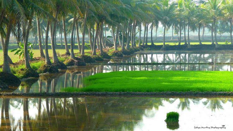
The district is extremely fertile, getting water abundantly throughout the Cotton barrage built on the Godavari River at Dhavaleswaram. The barrage channels water through two canals. Topographically the district is divided into the Delta and the uplands.
Culture
The vast majority of the district is rural in nature thus the culture of the district is mostly conservative and traditional. The joint family system and arranged marriages are the norm. Cities like Bhimavaram, Tadepalligudem and Eluru are a little bit more modern. The standard form of the Telugu dialect is spoken in this district just as its neighboring Krishna district.. English is commonly spoken by the younger generation as most higher education is conducted in English medium.
Tourism and landmarks
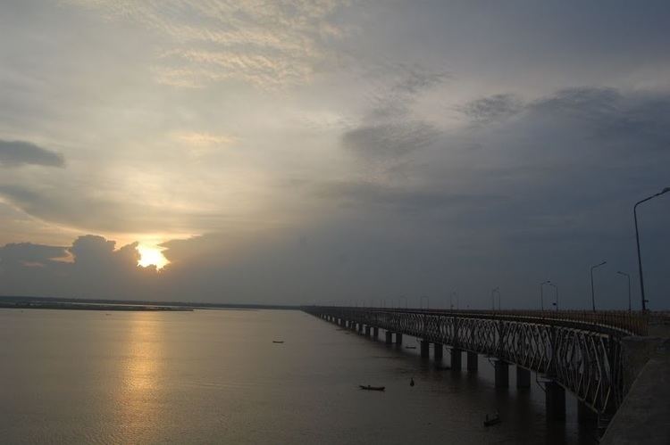
Dwaraka Tirumala, an ancient holy place and a popular pilgrim center in the district. Sthala Puranam, a pilgrimage destination is called Dwaraka Tirumala after the great saint, Dwaraka, who located the self manifested idol of Lord Venkateswara after severe penance in a Valmikam (ant hill). The place is also known as Chinna Tirupati (mini-Tirupati). Perupalem Beach, located at a distance of 20 km from the town of Narasapuram. Godavari River and its banks are the scenic locations that attracts many nature observers. Ksheera Rama Lingeswara Swami Temple, one of the five Pancharama Kshetras, is notable for its 36.6 m (120 ft) Gopuram, located in Palakollu town. It was built by the Reddy Rajas, who ruled this place during 15th century.
Sri Vasavi Kanyaka Parameswari temple in Penugonda , an important destiny for Arya Vysya community. Bhimavaram is one of the Pancharama Kshetras, with the Somarama Pancharama dedicated to Lord Shiva, where he is known as Someswarudu. Adinatha Bhagavan Jain temple in Peda-Amiram. Juttiga is a small Village in Penumantra Mandal. A river by name "Gostanadi" which has got a historical significance is pass through it. Kovvuru, Pattisam, Papikondalu, Polavaram, Koruturu, Kamavaram, Jangareddygudem, Dwaraka Tirumala, Jeelakarragudem, Eluru, Pedavegi and Kolleru Lake are other nearby locations for tourist destinations.