
Founded 1982 Website natafnik.com | Council Mateh Yehuda Population (2015) 378 Local time Tuesday 7:22 AM | |
 | ||
Weather 12°C, Wind S at 5 km/h, 79% Humidity | ||
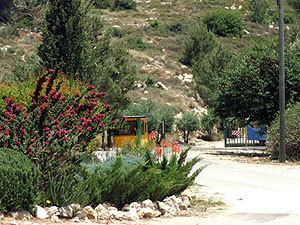
Nataf (Hebrew: נָטָף, lit. Stacte) is a communal settlement in central Israel. Located in the Judean Mountains, twelve miles west of Jerusalem, it falls under the jurisdiction of Mateh Yehuda Regional Council. In 2015 it had a population of 378.
Contents
Map of Nataf, Israel
Etymology
Its biblical name is derived from "one of the spices used in the Temple" (Exodus 30:34).
History
According to Walid Khalidi, Nataf was founded in 1982 on land belonging to the depopulated Arab village of Bayt Thul, less than 1 km south of the village site of Nitaf. Hebrew Wikipedia states that Nataf was built on land bought from Arabs, but does not give references.
Nataf overlooks Nataf Valley, a popular hiking destination. Nataf spring is watered all year round and has a number of small freshwater pools. The name Nataf is of biblical origins and referred to the incense Stacte. Only 20% of the residents are Modern Orthodox; 80% of the residents are secular. The village has a unique unaffiliated synagogue with three sections for prayer: a men's section, a women's section and a mixed section.
Geography
Nataf is situated on a ridge bounded by Kefira Valley to the north and Hamisha Valley to the south; the elevation is around 500m above MSL. It lies at the end of a 3-mile road that passes through Abu Ghosh.