
Arabic نطاف Area 1,401 dunams1.4 km² | Palestine grid 156/138 Date of depopulation 15 April 1948 | |
 | ||
Weather 14°C, Wind SE at 5 km/h, 51% Humidity | ||
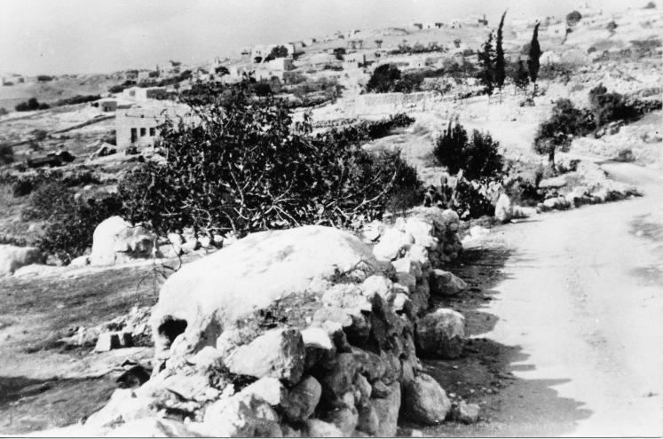
Nitaf Arabic: نطاف, Natâf, was a small Palestinian Arab village in the Jerusalem Subdistrict. It was depopulated during the 1947–1948 Civil War in Mandatory Palestine on April 15, 1948 during the second stage of Operation Dani. Located 17 km west of Jerusalem, the village was built on an archaeological site which was surrounded by a number of khirbas.
History
In the 1922 census of Palestine, conducted by the British Mandate authorities, Nataf had a population 16, all Muslims.
In 1945 it had a population of 40 Muslims. and the total land area was 1,401 dunams, according to an official land and population survey. Of the land, a total of 166 dunams were plantations and irrigable land and 158 were for cereals, while a total of 1,077 dunams were classified non-cultivable land.
Nitaf had a maqam for local sage known as al-Shaykh Mas'ud.
The Israeli settlement of Nataf is located less than 1 km south of the village site, but on land belonging to Bayt Thul.