
Vehicle registration TS Elevation 134 m Population 31,244 (2011) | Time zone IST (UTC+5:30) Website telangana.gov.in Area 23.72 km² Local time Tuesday 9:10 AM | |
 | ||
Weather 28°C, Wind NE at 3 km/h, 39% Humidity | ||
Naspur is a census town and is a Village and mandalin Mancherial district (Old Adilabad District) of the Indian state of Telangana.
Contents
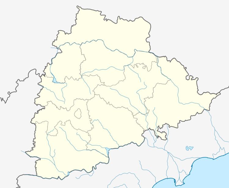
- Map of Naspur Mancherial Telangana
- Administration Divisions
- Colonies of Naspur
- Places of Interest
- Geography
- Demographics
- Economy
- References
Map of Naspur, Mancherial, Telangana
Administration Divisions
Villages in the Naspur.
Colonies of Naspur
The major portion of Naspur is covered with coal belt Singareni mines and its colonies. The following are the list of colonies.
Places of Interest
Theatre Hall:
Function Hall:
Parks:
Guest House:
Clubs & Swmming Pool:
Grounds:
Hospitals:
Banks:
Post Office:
Police Station:
Others:
Coal Belts:
Geography
Naspur is located at 18.83°N 79.45°E / 18.83; 79.45. It has an average elevation of 134 metres (439 feet).
Demographics
As of 2001 India census, Naspur had a population of 14,746. Males constitute 52% of the population and females 48%. Naspur has an average literacy rate of 58%, lower than the national average of 59.5%: male literacy is 66%, and female literacy is 49%. In Naspur, 12% of the population is under 6 years of age.
Economy
A suburb of Mancherial Town, this town is largely inhabited by coalminers working in the Singareni Collieries, The Coal Chemical Complex of these collieries is located here.