 | ||
narayangad beed
Shivaji trail at narayangad
Location
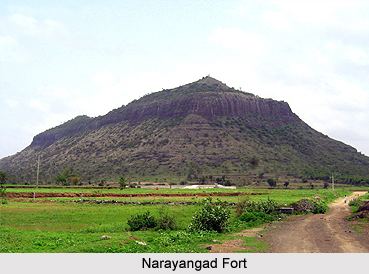
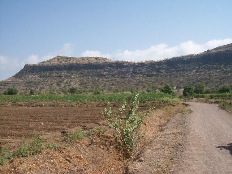
About three miles east of the town Narayangoan on a detached hill which on the north, south, and west rises sharp from the plain is the dismantled fort of Narayangad. Narayangad is a hill fort near Pune, located 80 km from Pune, 8 km from Narayangaon and 5 km from Khodad village. Near Narayangad is a small village named Gadachiwadi. The name of the taluka-Narayangaon is derived from the fort.From the base of the fort to the top of the fort is an easy climbing of 20 minutes.
Places to see
Above the fort there are small waterponds named Narayantake, and Chambar Take. At the highest point of the fort there is a temple of the Goddess "Hastamata" and below it there is the temple of "Mukaai". The hill has some other ruins, especially a stone doorway bearing on its lintel a figure of Ganpati and two attendant tigers. The Giant Meterwave Radio Telescope GMRT project, that is located 10 km away has in the recent times popularised the fort amongst trekkers. Built in the North-South direction the fort has its main entrance on the western side.
History
The fort is from the Satvahana era and was used as a watch point for the Junnar Paithan route. The fortress is said to have been rebuilt by the first Peshwa Balaji Vishvanath (1714-1720) and given in saranjam or service-grant to Sayaji Povar. In the last Maratha war of 1818 Narayangad is said to have surrendered to the British in 1818 .