
Elevation AMSL 3,871 ft / 1,180 m 580 1,903 | 13/31 580 Address Uganda | |
 | ||
Owner Namulonge Agronometry Station Similar National Crops Resource, National Agricultural Research, Civil Aviation Authority, Ugachick Poultry Breeders, Gayaza High School | ||
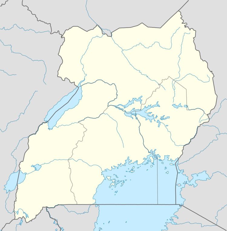
Namulonge Airport, also referred to as Namulonge Airstrip, is an airstrip serving the Namulonge Agronometeorology Station near the town of Namulonge in the Wakiso District of Uganda, 75 kilometres (47 mi) north of central Kampala. The narrow runway is also used as a road and is surrounded by plowed fields of the agricultural research station.
The station has an automated airport weather station (AWOS) system installed. The "HUNA" ICAO airport code may be no longer active.
References
Namulonge Airport Wikipedia(Text) CC BY-SA