
Length 482 km | ||
 | ||
The Nairobi–Mombasa Road, also Mombasa–Nairobi Road or A109 Road (Kenya) is the main road between Nairobi, Kenya's capital and largest city and Mombasa, the country's largest port city. The road is a component of the Northern Corridor.
Contents
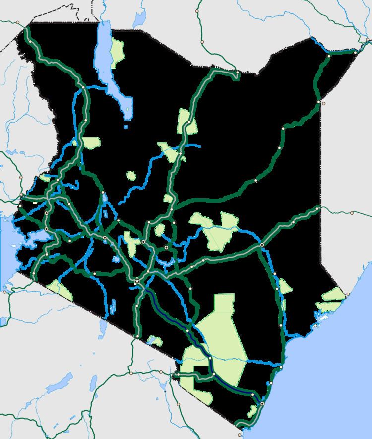
Map of A109, Kenya
Location
The road starts in the city of Nairobi, at the confluence of Langata Road, Uhuru Highway and Lusaka Road, immediately west of DHL House. It continues in a general southeasterly direction, through seven Kenya Counties to end in the city of Mombasa at the confluence of Digo Road, Langoni Road and Abdel Nasser Road, a total distance of about 482 kilometres (300 mi). The coordinates of this road south of the town of Athi River, Machakos County are: 01°30'15.0"S, 37°05'20.0"E (Latitude:-1.504167; Longitude:37.088889).
Overview
This road, together with its sister road, Nairobi–Malaba Road, is part of the Great North Road, that links the Kenyan coast to the land-locked countries of Burundi, Eastern DR Congo, Rwanda, Uganda and South Sudan. The road moves more than 50 percent of all goods traded in the East African Community. Due to the volume of traffic, and the concentration of heavy-duty transport vehicles, the route is accident-prone, accounting for a large number of injuries and fatalities in the region. In 2013 alone, 3,179 people lost their lives in traffic accidents on the combined Mombasa–Malaba Road.
The government of Kenya has plans to expand the road to dual carrige, with a total of six lanes outside Mombasa Island, increasing the number of lanes to twelve, on the island itself. It is expected that solicitation of bids from funders and contractors will be announced before the end of calendar 2016. When completed, the road will become Nairobi–Mombasa Highway
Towns
The following towns, listed from west towards the east, are located along the highway:
Intersections
The following major intersections lie along the Nairobi–Mombasa Road, listed from the west towards the east. (1) The Nairobi–Malaba Road, also referred to as the Nairobi–Uganda Road. (2) The Nairobi–Namanga Road, part of the Nairobi–Arusha Road. (3) The Voi–Taveta Road. (4) The Mariakani–Kaloleni–Mavueni Road. (5) The Dongo Kundu Bypass Highway. (6) The Mombasa–Garissa Road. (6) The Malindi–Bagamoyo Highway.