
Website mombasa.go.ke Population 939,370 (2009) Team Bandari F.C. | Formed March 4th 2013 Time zone EAT (UTC+3) Elevation 50 m Area code 020 | |
 | ||
Area 294.7 km² (229.7 km² Land / 65 km² Water) Colleges and Universities Mombasa Technical Training I, Shanzu Teachers College, Vision Institute of Professionals, Globoville College Kenya Points of interest Haller Park, Mombasa Marine National, Mombasa Island, Diani Beach, Shimba Hills National | ||
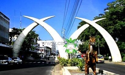
Mombasa County is one of the 47 Counties of Kenya. Its capital and the only city in the county is Mombasa. Initially it was one of the former Districts of Kenya but in 2013 it was reconstituted as a county, on the same boundaries. It is the smallest county in Kenya, covering an area of 229.7 km2 excluding 65 km2 of water mass. The county is situated in the South Eastern part of the former Coast Province. It borders Kilifi County to the North, Kwale County to the South West and the Indian Ocean to the East. Administratively, the county is divided into seven divisions, eighteen locations and thirty sub-locations.
Contents
Map of Mombasa County, Kenya
Kenya was divided into eight provinces, prior to 2013, which were subdivided into 47 counties. In the former Coast Province there are six counties, Mombasa being one of them. It is situated in the southeast of Coast Province. It is the smallest in size covering an area of 212.5 km². The county lies between latitudes 3°56’ and 4°10’ south of the equator and longitudes 39°34’ and 39°46’ east.
Geographical area
The county and the city are divided into four divisions namely:
Constituency
The county is composed of six Parliamentary constituencies:
Mombasa County lies within the coast lowland, which rises gradually from the sea level in the east to slightly over 76 m above sea level in the mainland west. The highest point is at Nguu Tatu hills in the mainland North that rises up to 100 m above sea level.
Services and urbanisation
Source: USAid Kenya