Founded October 1984 | Founded by Poalei Agudat Yisrael | |
 | ||
Weather 7°C, Wind S at 10 km/h, 85% Humidity | ||
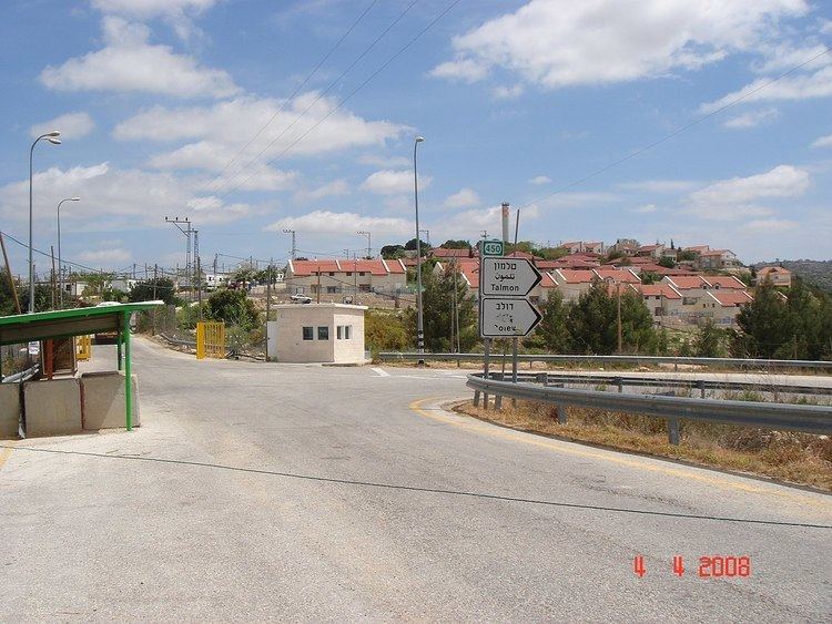
Nahliel (Hebrew: נַחֲלִיאֵל) is a Haredi communal Israeli settlement in the West Bank. Located close to the Palestinian villages of Beitillu and Deir 'Ammar, and some 20 kilometres (12 mi) from Modi'in, it falls under the jurisdiction of the Mateh Binyamin Regional Council. In 2015 it had a population of 665.
Contents
Map of Nahliel
The international community considers Israeli settlements in the West Bank illegal under international law, but the Israeli government disputes this.
History
The settlement was established in October 1984 by the Poalei Agudat Yisrael movement, and was named after the biblical city of Nahaliel and a book by Isaac Breuer, the founder of Poalei Agudat Yisrael. According to its website it is a "warm, Torah-centered community, a place where it is fun to live," with a population of 80 families. According to Dror Etkes of Peace Now, writing in 2005, the settlers are radicals on the fringe of the ultra-Orthodox society, making it rather atypical among the ultra-Orthodox settlements.
During the Second Intifada, two Israeli women were ambushed and wounded by Palestinian militants near Nahliel.
In March 2005 a group of 30 to 40 Jewish seminary students used clubs and stones to beat 8 Palestinian men employed in Nahliel as they were entering the settlement.
North and east of Nahliel are lands belonging to the Palestinians of the village of Beitillu, whose residents are allowed to work on their orchards only a few days every year. Much damage to Palestinian olive groves contiguous to the settlement has taken place in 2012, but the culprits are unknown. The area is surrounded by barbed wire.
